search.ch

Panoramaweg Gadastatt–Zervreila

Local route No. 264, Stage 4: Vals, Gadastatt – Vals, Zervreila
  • Image 1

Description

Local route
No. 264
Length
5 km
Ascent • Descent
↑ 240 m • ↓ 220 m
Lowest point • Highest point
1801 m • 1995 m
Hiking time
2 h
Fitness level
medium
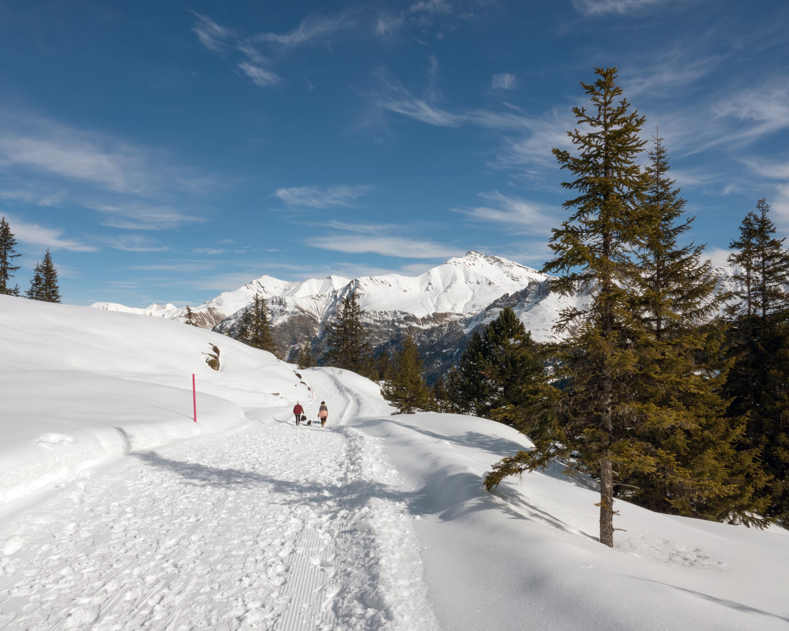
This winter walk is the most popular one in the Vals valley, which is no surprise, as the water is reached effortlessly across open, snow-covered moorland. Walkers are accompanied all the way by stunning, Alpine scenery, which culminates in the Zervreilahorn – also known as the Matterhorn of the Grisons.

Booking Information

Height profile

Weather:

Visit Vals Tourismusbüro

Comments about this activity or place?

Thank you for your feedback!