DE
FR
IT
EN
Directory
Weather
Map / Route
Timetable
Leisure
TV guide
Cinema
Web search
Apps
More
Personal Data »
Login:
Register
Password forgotten
or
Log in with local.ch
Log in with Apple
Log in with Facebook
Log in with Google
Log in with LinkedIn
Please note that our new
privacy statement
as well as the revised
terms and conditions of use
apply.
Leisure
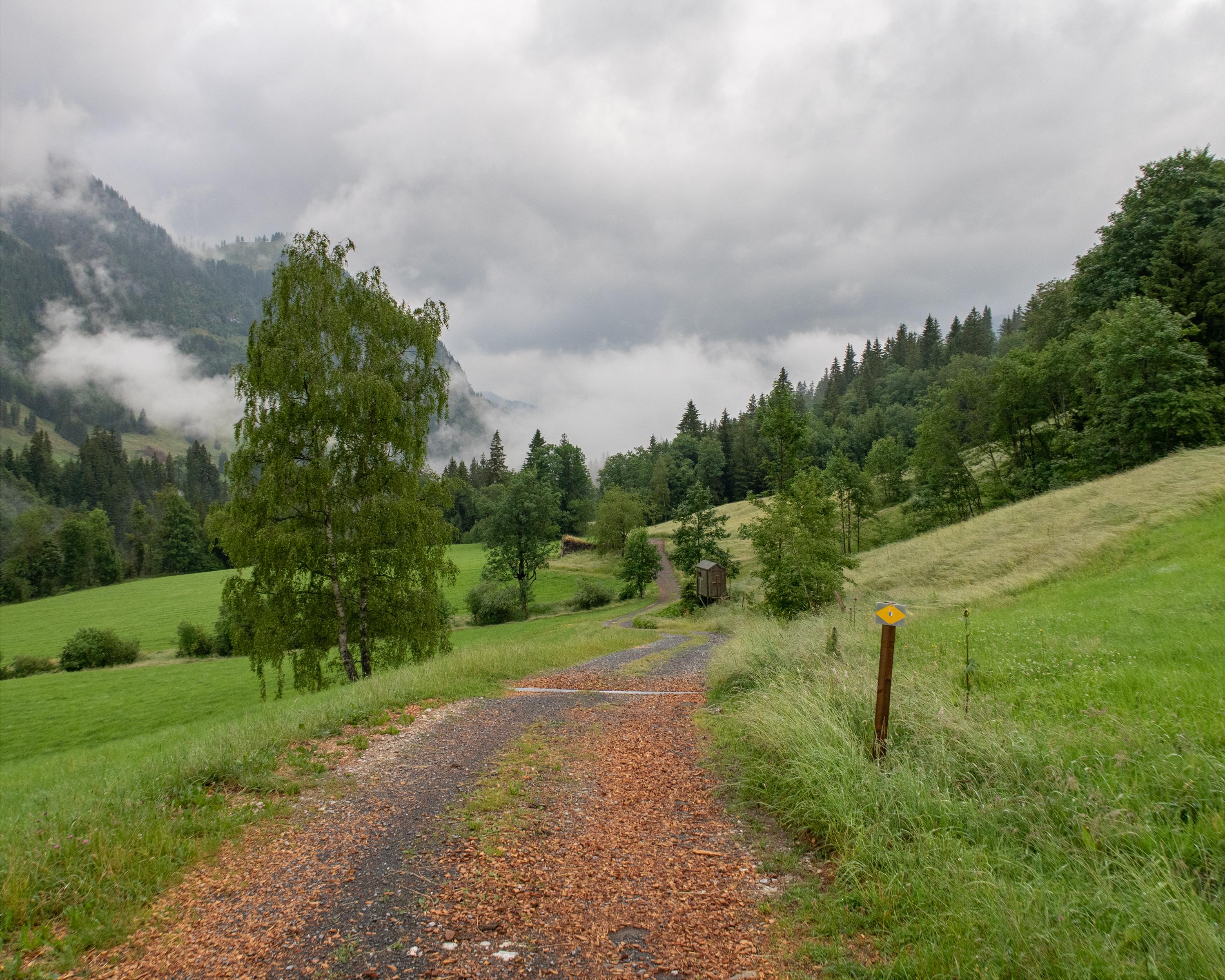
Hike in Entlebuch - Sörenberg
Emmenuferweg
Regional route No. 83, Sörenberg–Schüpfheim
Description
Regional route
No. 83 (Sörenberg–Schüpfheim)
Length
19 km
Ascent • Descent
↑ 320 m • ↓ 760 m
Lowest point • Highest point
714 m • 1154 m
Hiking time
5 h
Grade
easy (hiking trail)
Fitness level
medium
The second section of the Emmenuferweg is also the most rugged. From Sörenberg the hiking trail meanders along deep ravines and high cliffs down to Schüpfheim in the main valley of the Entlebuch.
Comments on this information?
We welcome your feedback!
Presented by
Route
Height profile
Weather:
More...
Comments about this activity or place?
Incorrect information
Missing information
Another topic
Thank you for your feedback!
Close