search.ch

Via Engiadina, Stage 10/12

Regional route No. 87, Stage 10: Ftan, Prui – Sent
  • Image 1

Description

Regional route
No. 87 (Maloja – Vinadi)
Length
13 km
Ascent • Descent
↑ 300 m • ↓ 950 m
Lowest point • Highest point
1429 m • 2188 m
Hiking time
3 h 35 min
Grade
medium
Fitness level
difficult
Regional route No. 87: Via Engiadina
Stages
1. Maloja – Silvaplana
2. Silvaplana – Celerina, Marguns
3. Celerina, Marguns – Bever
4. Bever – Zuoz
5. Zuoz – Zernez
6. Zernez – Lavin
7. Lavin – Guarda
8. Guarda – Ardez
9. Ardez – Ftan, Prui
10. Ftan, Prui – Sent
11. Sent – Tschlin
12. Tschlin – Vinadi
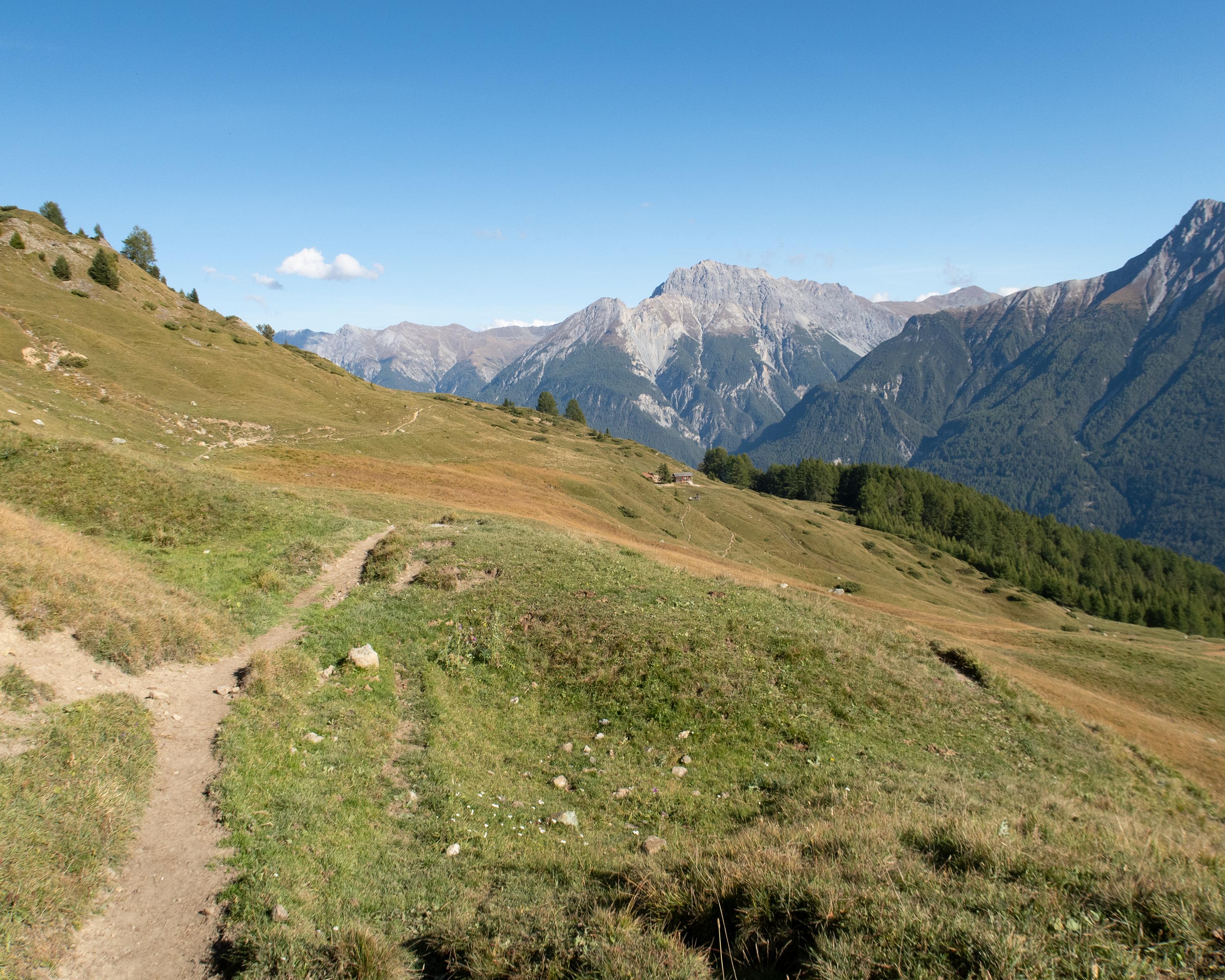
The easy high-altitude hike on the sunny side of the Lower Engadine runs through the ski area above Scuol. You reach the picturesque village of Sent on narrow trails, crossing numerous mountain streams. The views of the Lower Engadine Dolomites and the Clozza Gorge are superb.

Height profile

Weather:

Comments about this activity or place?

Thank you for your feedback!