search.ch

Thur-Route

Regional route No. 95, Nesslau–Buchs SG
  • Image 1

Description

Regional route
No. 95 (Nesslau–Buchs SG)
Length
31 km
Ascent • Descent
↑ 400 m • ↓ 720 m
Lowest point • Highest point
443 m • 1050 m
Fitness level
easy (opposite direction: medium)
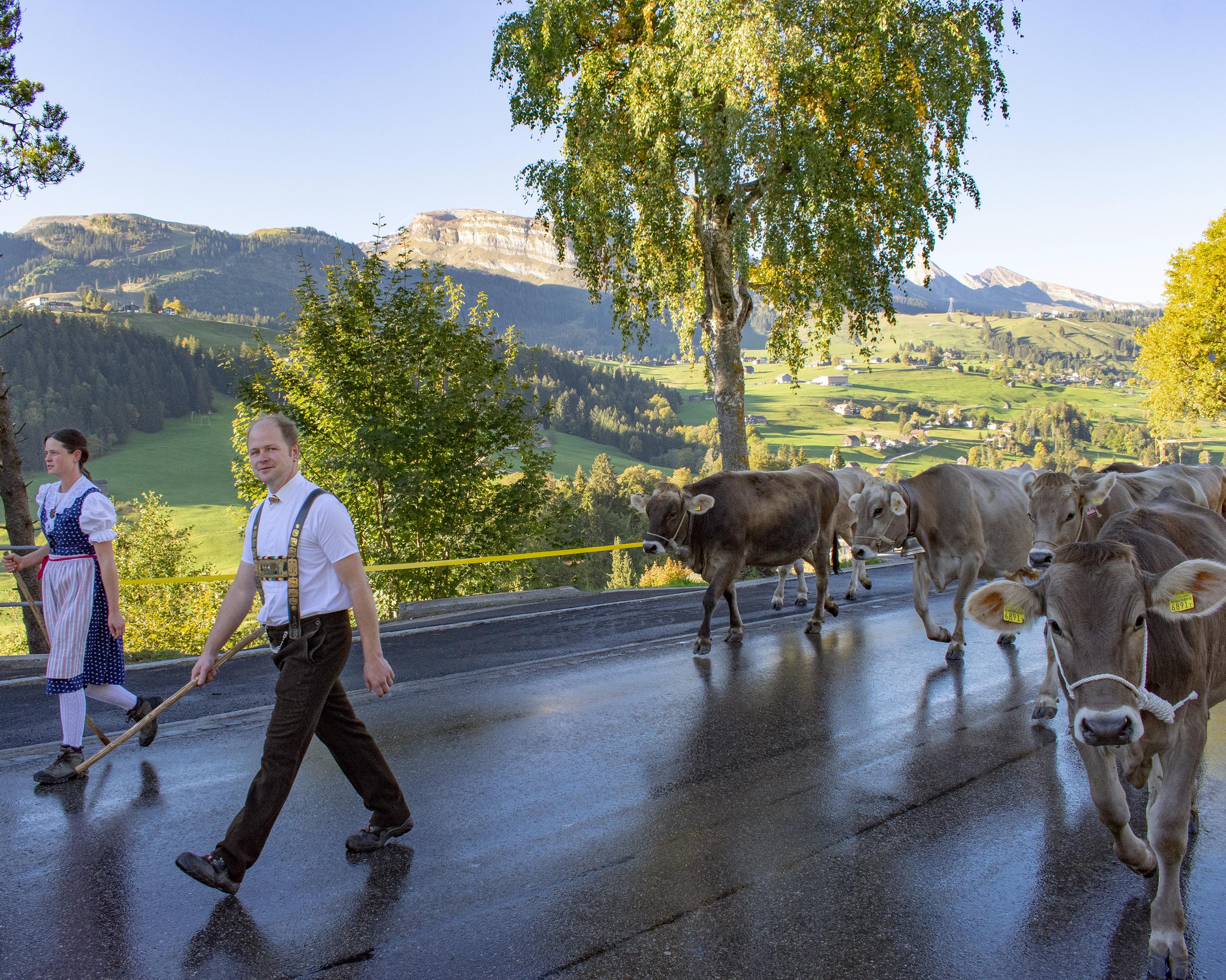
Säntis and the Churfirsten adorn the horizon. The Thur is now a babbling mountain stream, a pre-Alpine idyll. The tourist resort of Wildhaus nestles in a high valley, soon views sink into the wide Rheintal, wheels spin and the air gets noticeably warmer.

Height profile

Weather:

Comments about this activity or place?

Thank you for your feedback!