DE
FR
IT
EN
Directory
Weather
Map / Route
Timetable
Leisure
TV guide
Cinema
Web search
Apps
More
Personal Data »
Login:
Register
Password forgotten
or
Log in with local.ch
Log in with Apple
Log in with Facebook
Log in with Google
Log in with LinkedIn
Please note that our new
privacy statement
as well as the revised
terms and conditions of use
apply.
Leisure
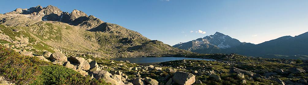
Hike in Graubünden
Surettaseen-Weg
Local route No. 759, Splügen–Splügen
Description
Local route
No. 759 (Splügen–Splügen)
Length
13 km
Ascent • Descent
↑ 860 m • ↓ 860 m
Lowest point • Highest point
1457 m • 2276 m
Hiking time
4 h 35 min
Grade
medium (mountain hiking trail)
Fitness level
medium
Easy yet almost high-alpine hike along the historical Splügen Pass route to the high plateau of the Suretta lakes.
Booking Information
E-mail:
info@viamala.ch
Comments on this information?
We welcome your feedback!
Presented by
Route
Height profile
Weather:
More...
Viamala Tourismus
Bodenplatz 4, 7435 Splügen
Viamala Tourismus
Bodenplatz 4, 7435 Splügen
081 650 90 30
Comments about this activity or place?
Incorrect information
Missing information
Another topic
Thank you for your feedback!
Close