search.ch

Thurweg

Regional route No. 24, Wildhaus, Gamplüt–Nesslau
  • Image 1

Description

Regional route
No. 24 (Wildhaus, Gamplüt–Nesslau)
Length
20 km
Ascent • Descent
↑ 280 m • ↓ 880 m
Lowest point • Highest point
756 m • 1353 m
Hiking time
5 h 20 min
Grade
medium (mountain hiking trail)
Fitness level
difficult
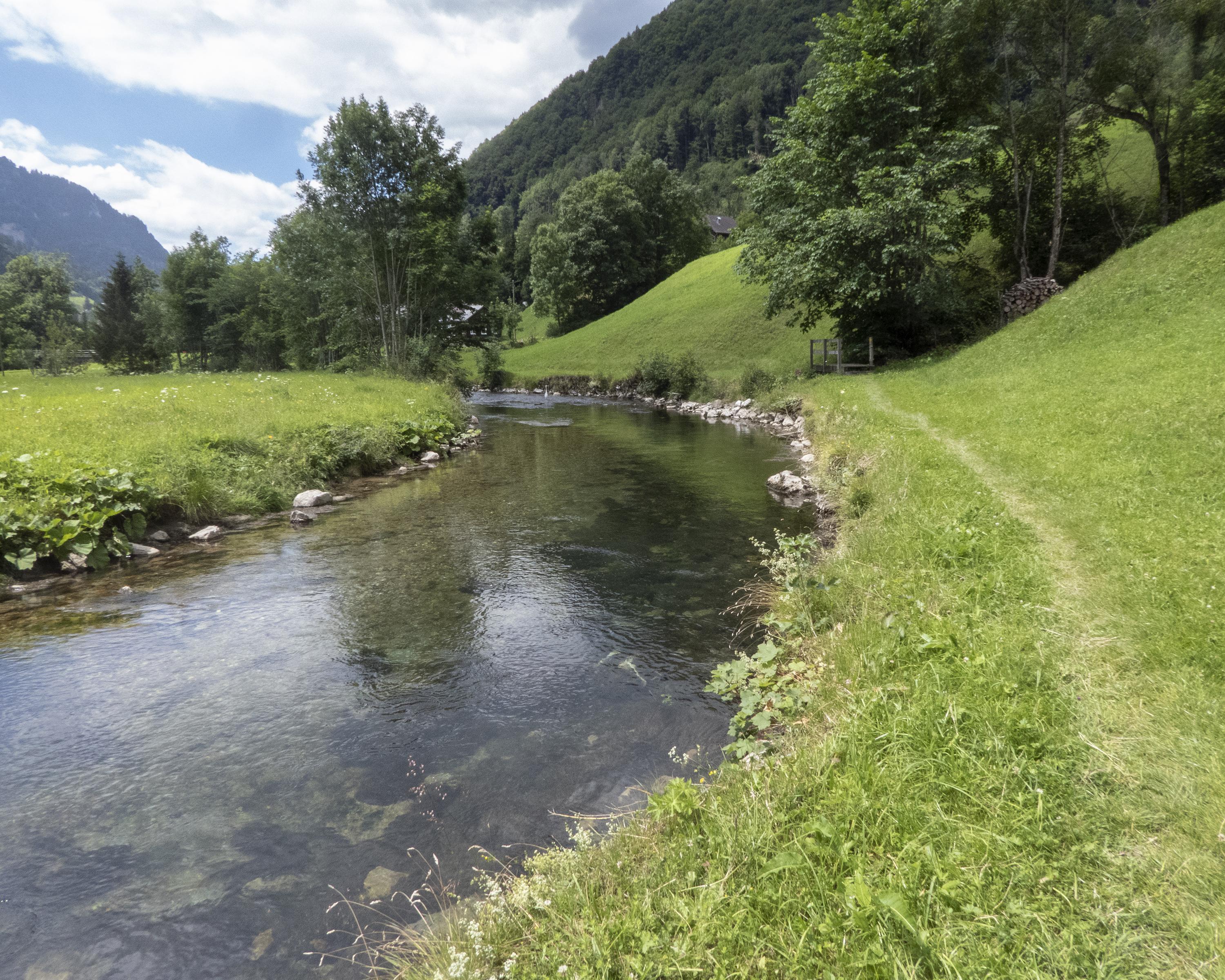
From the Thurweg trail, which is 160 kilometres long, this first stage leads along the Säntisthur, with its view of the Churfirsten, to the impressive roar of the Thur Falls. Shortly before the end of this stage at Nesslau, the river rushes down into the Giessen Falls.

Height profile

Weather:

Comments about this activity or place?

Thank you for your feedback!