DE
FR
IT
EN
Directory
Weather
Map / Route
Timetable
Leisure
TV guide
Cinema
Web search
Apps
More
Personal Data »
Login:
Register
Password forgotten
or
Log in with local.ch
Log in with Apple
Log in with Facebook
Log in with Google
Log in with LinkedIn
Please note that our new
privacy statement
as well as the revised
terms and conditions of use
apply.
Leisure
Hike in Lac de Joux
Jura Crest Trail
National route No. 5, Le Pont–Col du Marchairuz
Description
National route
No. 5 (Le Pont–Col du Marchairuz)
Length
21 km
Ascent • Descent
↑ 1050 m • ↓ 620 m
Lowest point • Highest point
1007 m • 1679 m
Hiking time
6 h 20 min
Grade
easy (hiking trail)
Fitness level
difficult
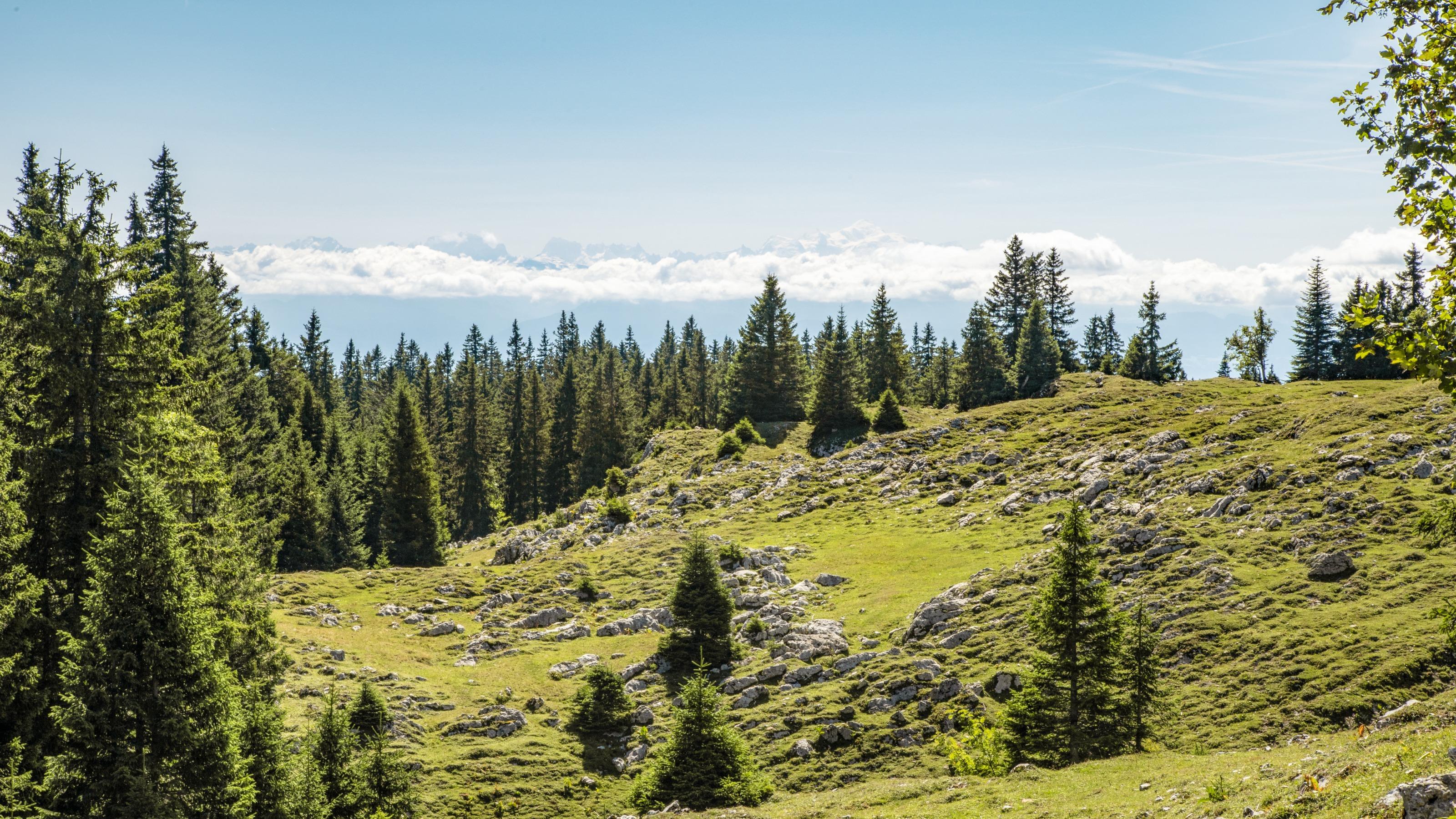
The undoubted highlight of this tour through extensive meadowlands is the Mont Tendre, the highest point on the Swiss Jura. The mountain affords views over Canton Vaud and Lac Léman, on clear days extending to the Alps and the blue Vosges.
Comments on this information?
We welcome your feedback!
Presented by
Route
Height profile
Weather:
More...
Comments about this activity or place?
Incorrect information
Missing information
Another topic
Thank you for your feedback!
Close