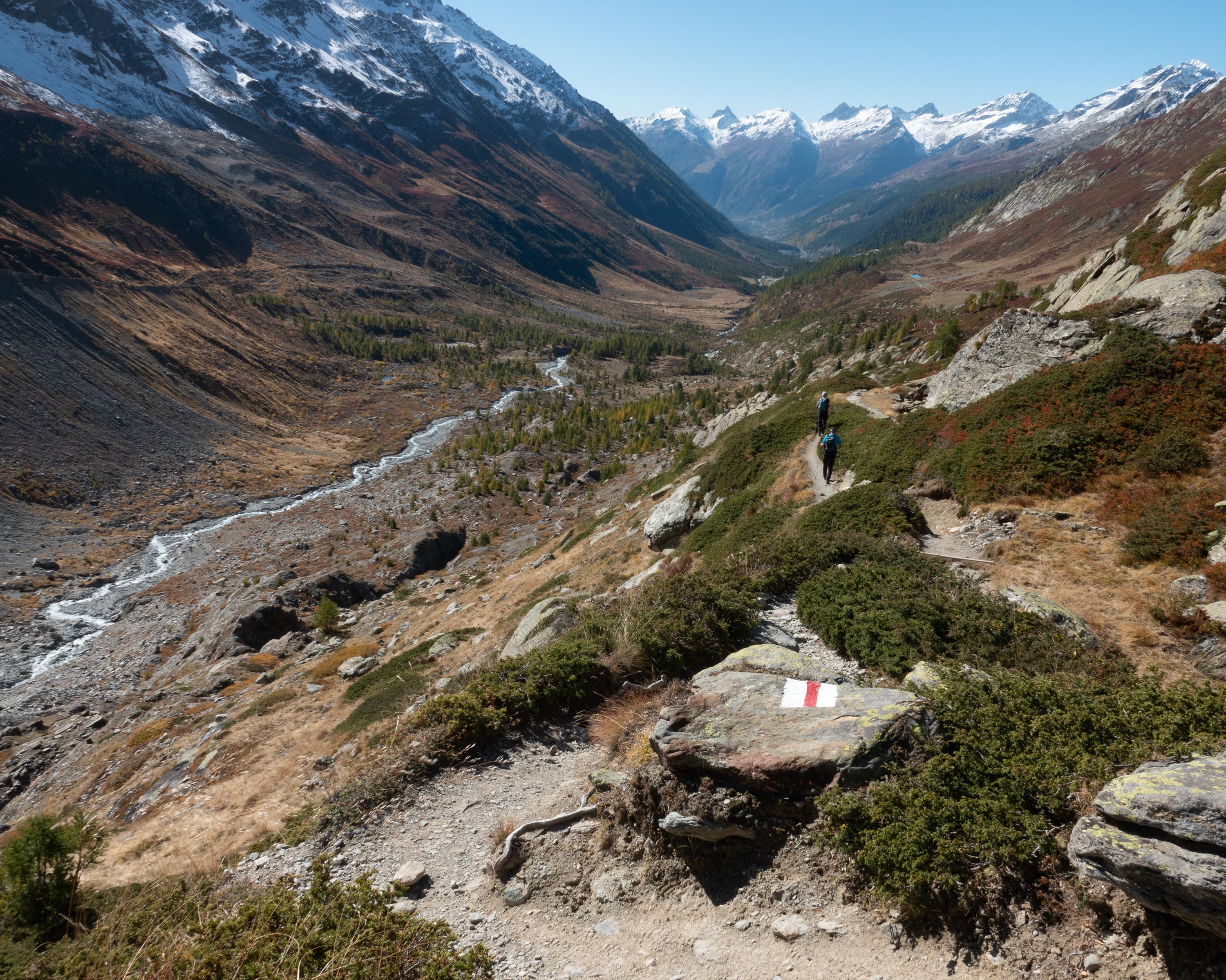
search.ch

Fafleralp-Rundweg

Local route No. 182, Fafleralp–Fafleralp
  • Image 1

Description

Local route
No. 182 (Fafleralp–Fafleralp)
Length
11 km
Ascent • Descent
↑ 680 m • ↓ 680 m
Lowest point • Highest point
1766 m • 2357 m
Hiking time
3 h 50 min
Grade
medium (mountain hiking trail)
Fitness level
medium
A glacier experience at the far end of the untouched Lötschental: this hike leads to Lake Anen and the eponymous hut, which overlooks the entire valley. It returns along the Lonza river to Fafleralp with magnificent views of the Lang Glacier.

Booking Information

Height profile

Weather:

Lötschental Marketing AG

Comments about this activity or place?

Thank you for your feedback!