Local route No. 906, Stage 6: Fischingen – Fischingen
Description
Local route
No. 906
Length
12 km
Ascent • Descent
↑ 540 m • ↓ 540 m
Lowest point • Highest point
612 m • 995 m
Hiking time
3 h 30 min
Grade
easy
Fitness level
medium
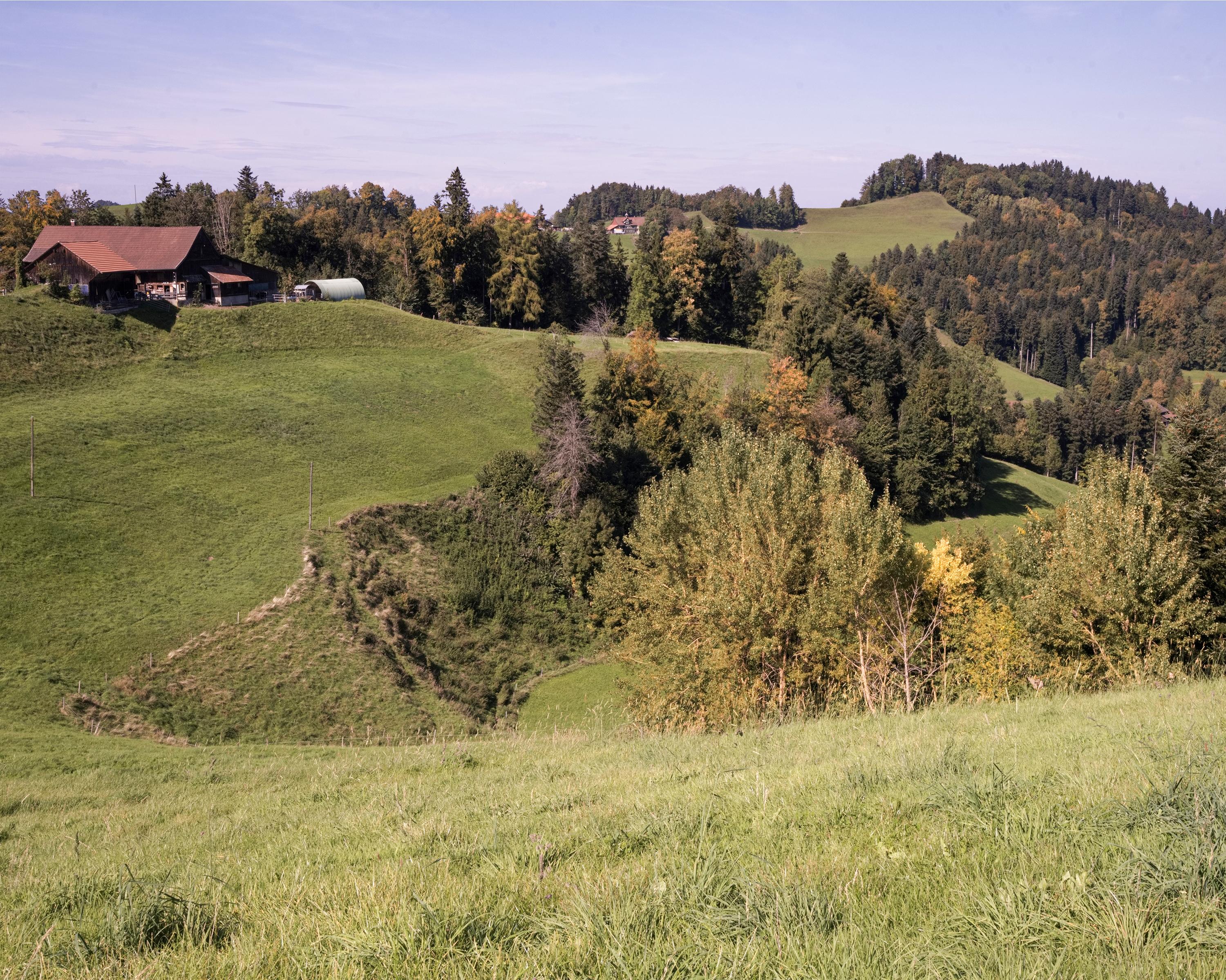
This hike is representative of the hiking paradise in the Fischingen region. A steady ascent in shady woods leads upwards to splendid, far-reaching views. Conglomerate rock gorges in the Alpine foothills alternate with gentle hilly landscapes.