search.ch

Waldstätterweg

Regional route No. 98, Brunnen–Vitznau
  • Image 1

Description

Regional route
No. 98 (Brunnen–Vitznau)
Length
15 km
Ascent • Descent
↑ 740 m • ↓ 740 m
Lowest point • Highest point
434 m • 686 m
Hiking time
5 h
Grade
medium (mountain hiking trail)
Fitness level
medium
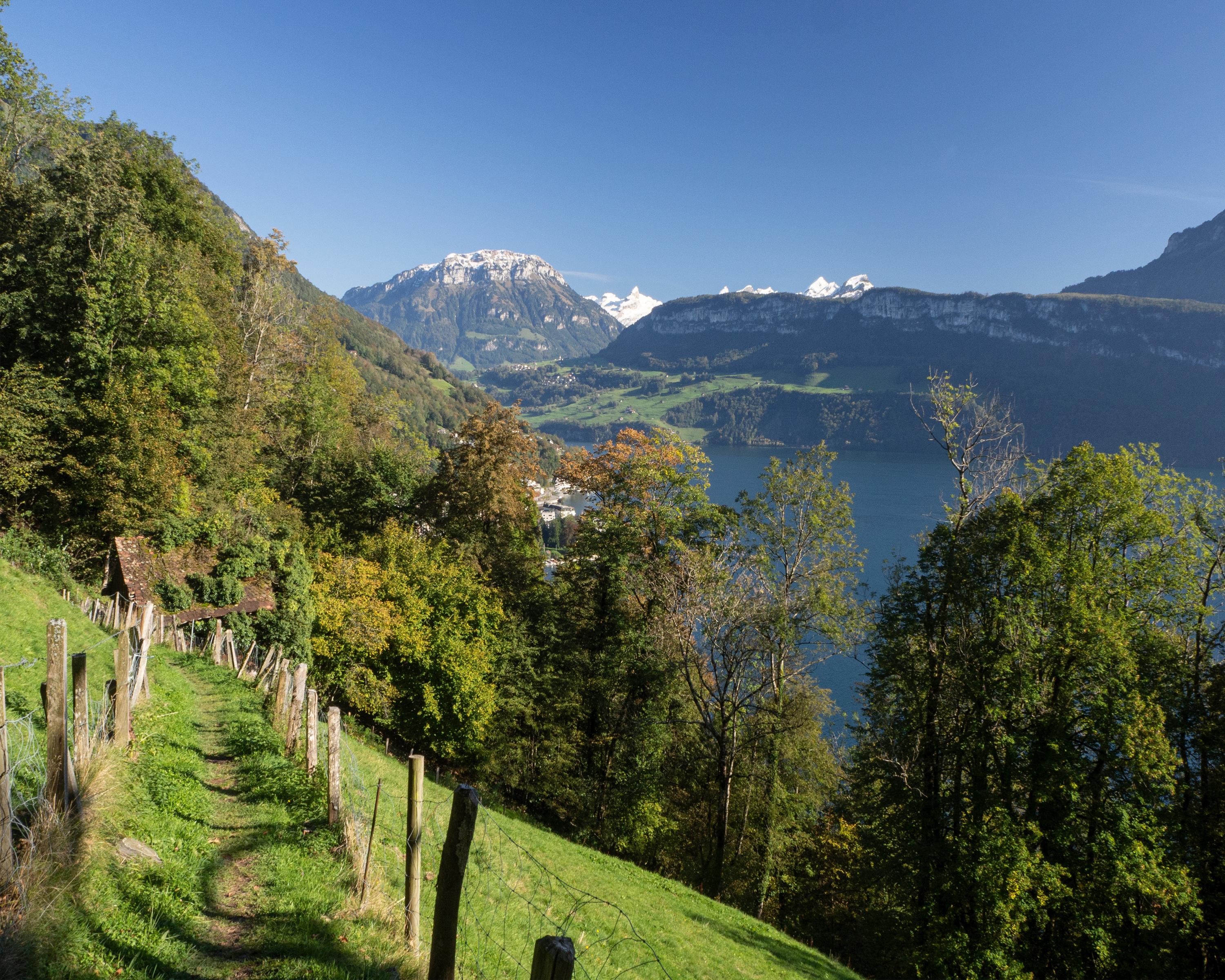
A touch of southern ambiance - from Brunnen on the Waldstätterquai and the Auslandschweizerplatz on the Seestrasse to Brünischart and the start of the mountain trail through almost Mediterranean-like forest vegetation with wonderful panoramic views. Vitznau is reached via Gersau.

Height profile

Weather:

Comments about this activity or place?

Thank you for your feedback!