DE
FR
IT
EN
Directory
Weather
Map / Route
Timetable
Leisure
TV guide
Cinema
Snow
Web search
Apps
More
Personal Data »
Login:
Register
Password forgotten
or
Log in with local.ch
Log in with Apple
Log in with Facebook
Log in with Google
Log in with LinkedIn
Please note that our new
privacy statement
as well as the revised
terms and conditions of use
apply.
Leisure
Hike in Aargau and Solothurn region
Solothurner Uferweg
Accessible route No. 486, Stage 6: Solothurn – Zuchwil
Description
Accessible route
No. 486
Length
3 km
Ascent • Descent
↑ 20 m • ↓ 20 m
Lowest point • Highest point
427 m • 432 m
Hiking time
40 min
Grade
medium
Fitness level
easy
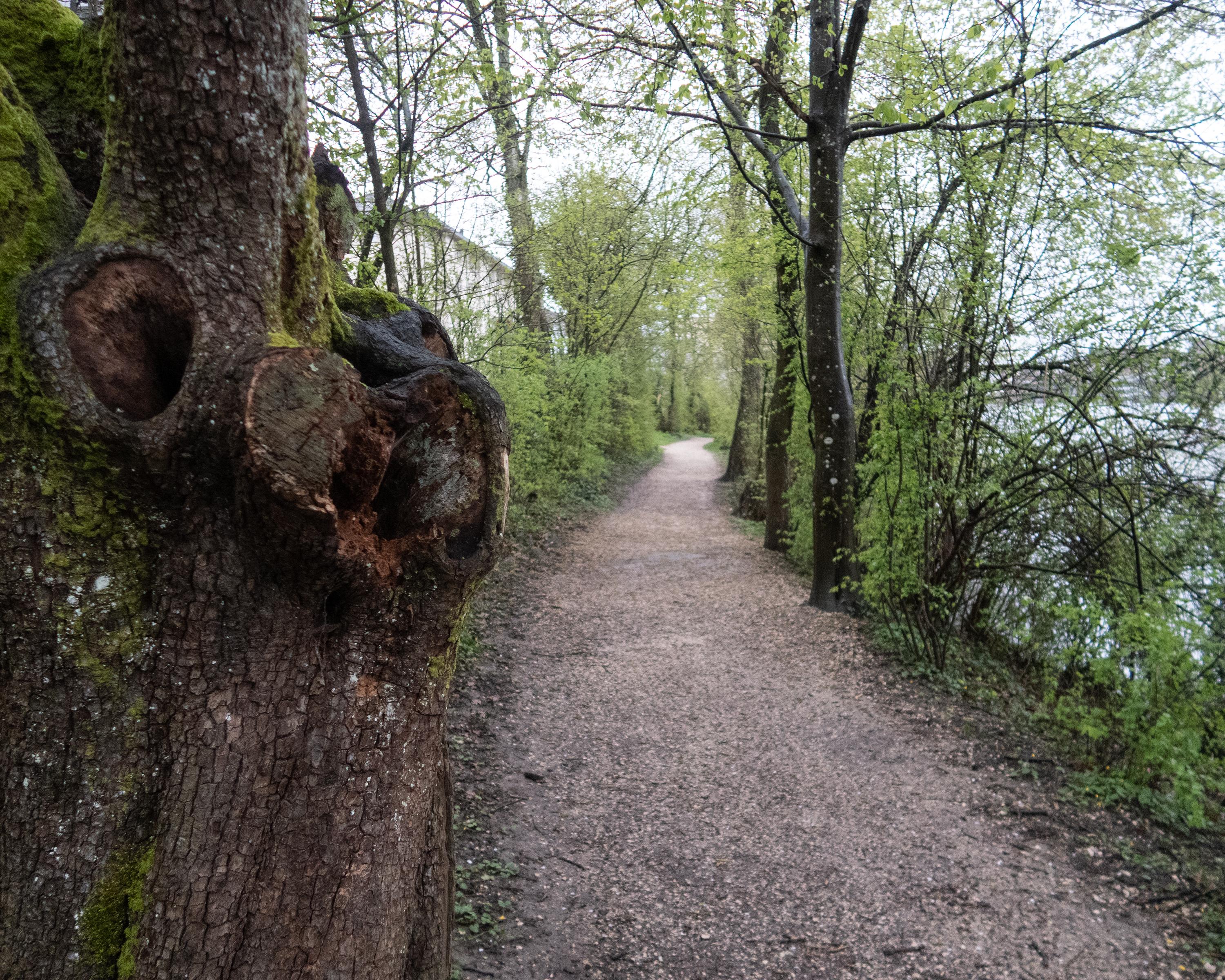
Solothurn, known as a magnificent baroque town, also has picturesque spots on the River Aare to discover on this route. The riverside path quickly leaves the bustling town behind and takes you into a relaxing natural world.
Booking Information
E-mail:
tourismus@procap.ch
Comments on this information?
We welcome your feedback!
Presented by
Route
Height profile
Weather:
More...
Procap
Frohburgstrasse 4, 4600 Olten
Procap
Frohburgstrasse 4, 4600 Olten
062 206 88 30
Comments about this activity or place?
Incorrect information
Missing information
Another topic
Thank you for your feedback!
Close