search.ch

Via Engiadina

Regional route No. 87, Maloja–Vinadi
  • Image 1

Description

Regional route
No. 87 (Maloja–Vinadi)
Length
160 km
Ascent • Descent
↑ 7800 m • ↓ 8500 m
Lowest point • Highest point
1087 m • 2558 m
Grade
medium (mountain hiking trail)
Fitness level
difficult
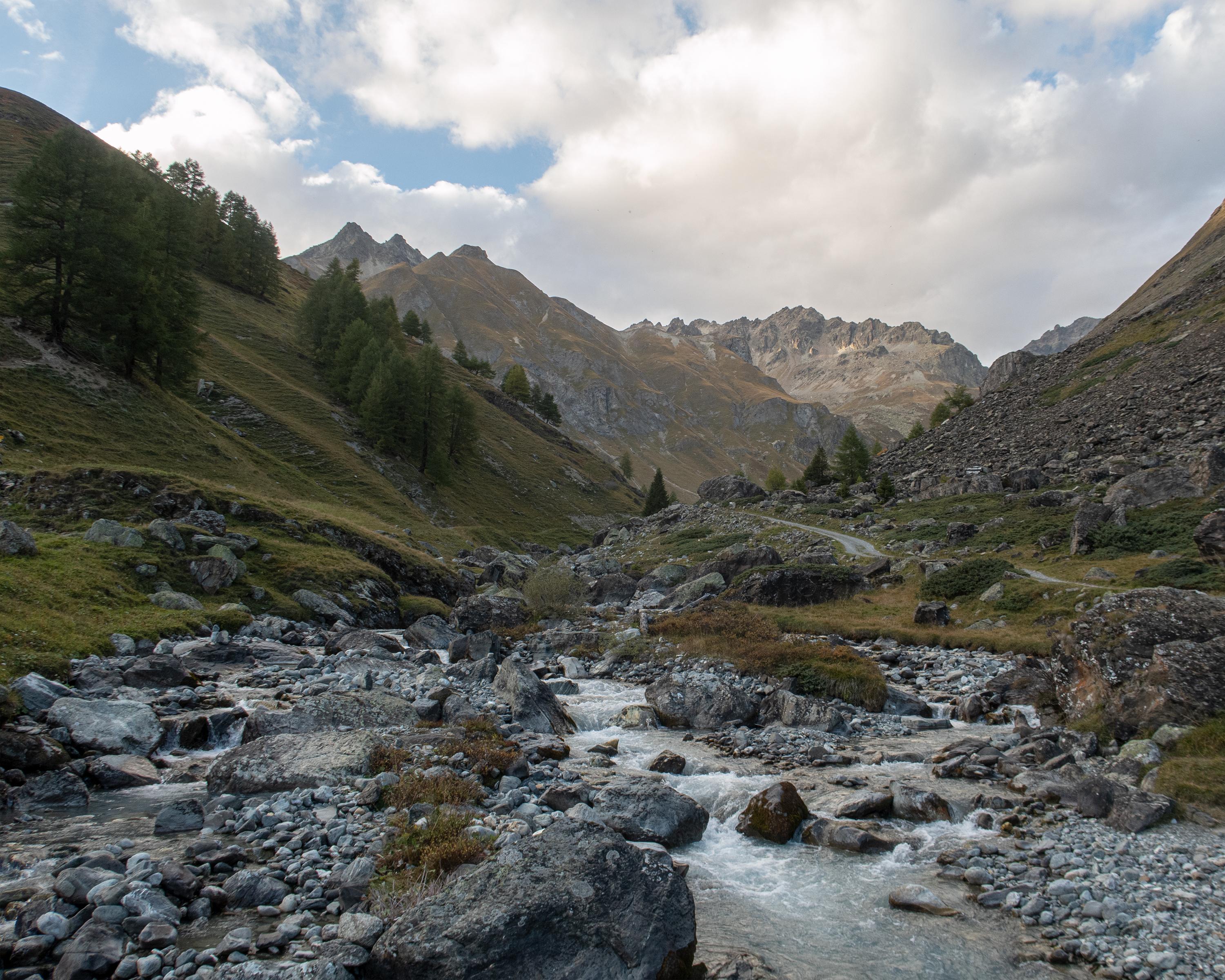
Classic high-altitude trail from the Upper to the Lower Engadine. On the sunny side of the valley along the river Inn, you cross typical Engadine villages, pine and larch forests, crystal-clear streams and lush alpine meadows. The panorama: the gleaming glaciers of the Bernina group and the Engadine Dolomites in the Swiss National Park.

Height profile

Weather:

Comments about this activity or place?

Thank you for your feedback!