search.ch

ViaFrancigena

Regional route No. 70, Aigle–St-Maurice
  • Image 1

Description

Regional route
No. 70 (Aigle–St-Maurice)
Length
19 km
Ascent • Descent
↑ 500 m • ↓ 480 m
Lowest point • Highest point
393 m • 643 m
Hiking time
5 h
Grade
easy (hiking trail)
Fitness level
difficult
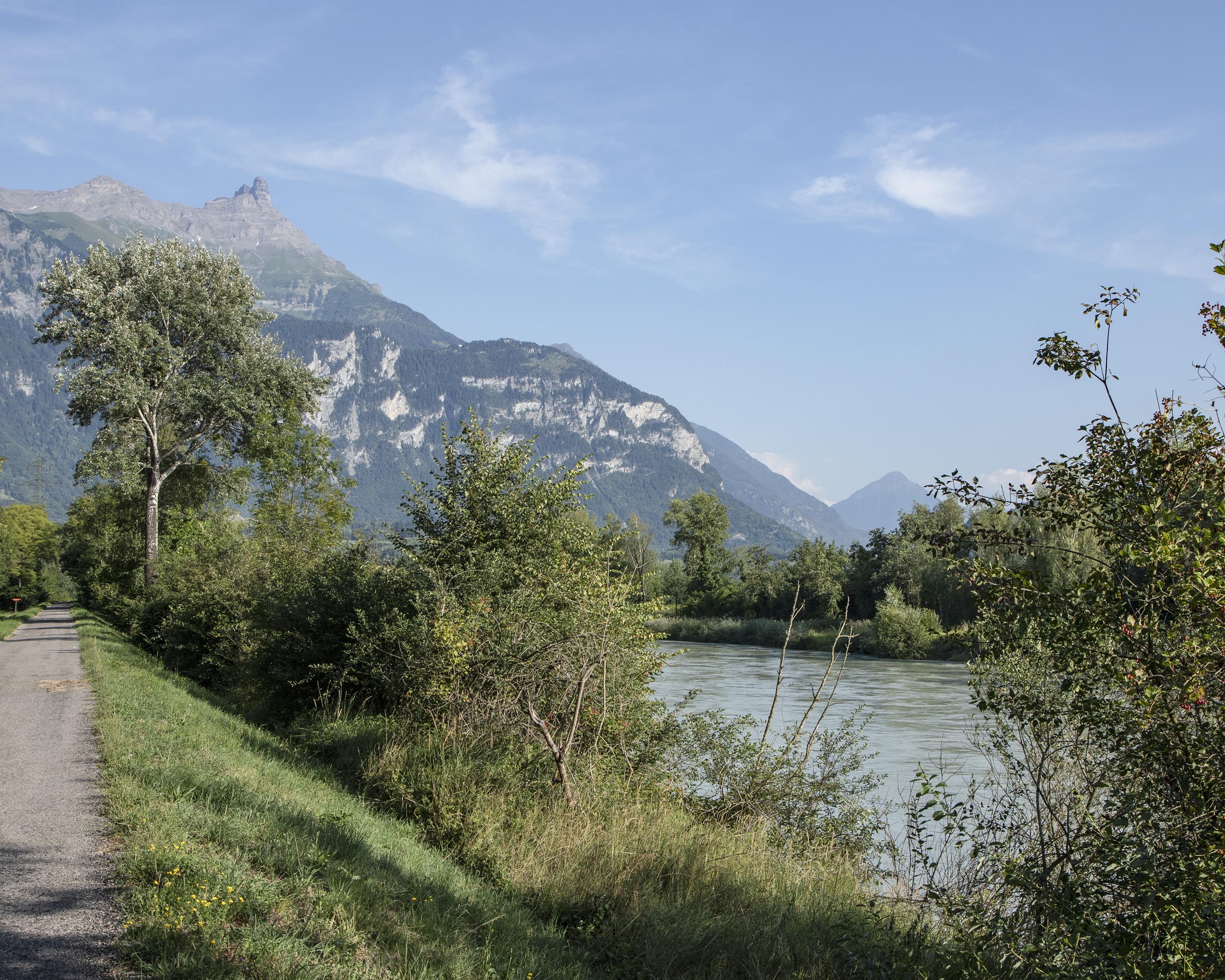
The route leaves Aigle via the vineyard, reaches Gryonne and later the Rhone, which it crosses at Massongex, the ancient capital of Celtic Valais. Once in St. Maurice, the pilgrim has already covered exactly half the distance from Canterbury to Rome.

Height profile

Weather:

Comments about this activity or place?

Thank you for your feedback!