search.ch

Mittelland Route

National route No. 5, Romanshorn–Wil (SG)
  • Image 1

Description

National route
No. 5 (Romanshorn–Wil (SG))
Length
35 km
Ascent • Descent
↑ 400 m • ↓ 220 m
Lowest point • Highest point
395 m • 565 m
Fitness level
easy
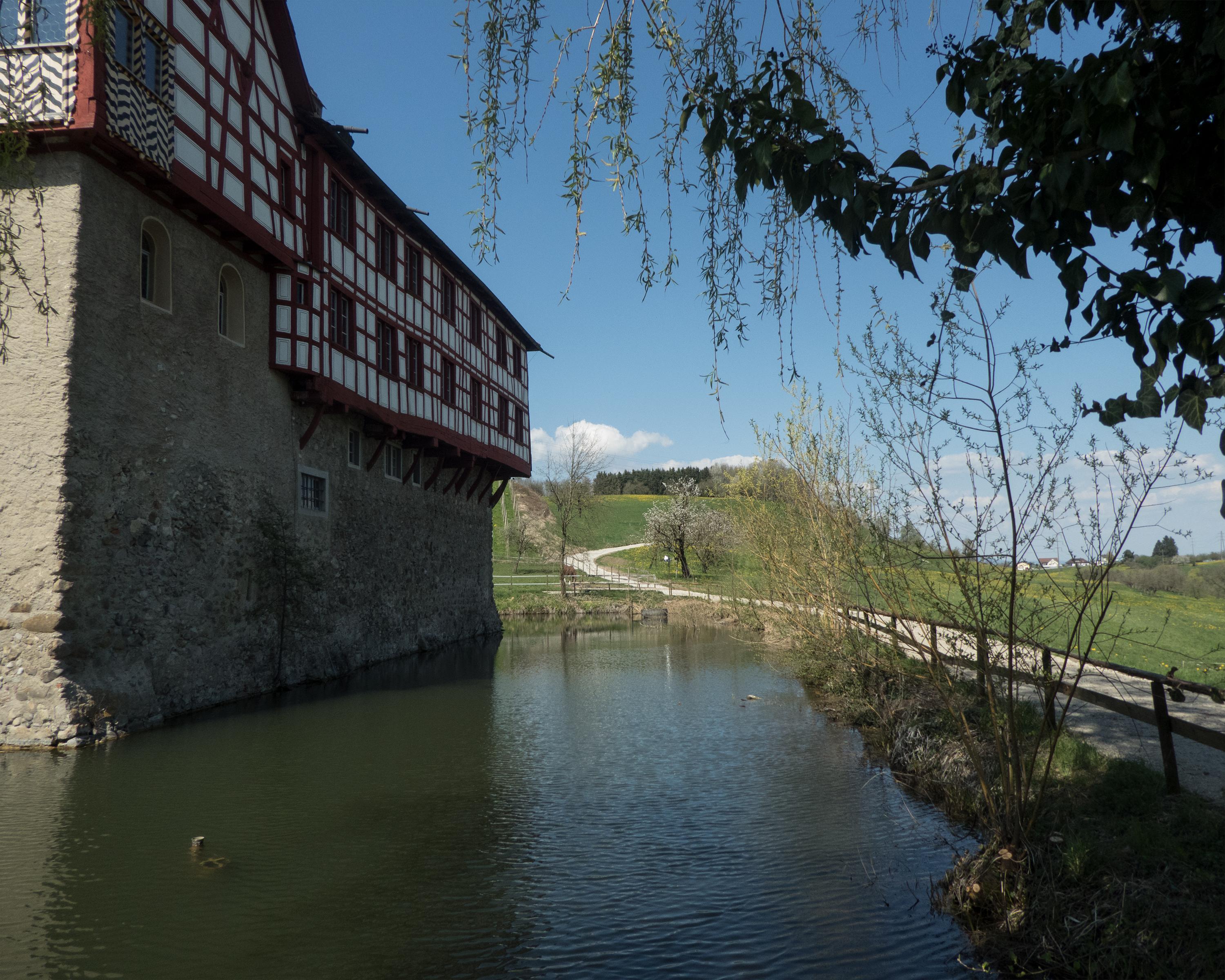
Gently rolling landscape in the Upper Thurgau region: The area jokingly referred to as “Cider India” is teeming with apples and pears. Therefore, a canning factory in lovely Bischofszell is not an unexpected sight. The meadowlands are smaller by far than they used to be, but with the same interesting qualities.

Height profile

Weather:

Comments about this activity or place?

Thank you for your feedback!