search.ch

Pragelpass-Weg

Regional route No. 29, Hinter Klöntal–Glarus
  • Image 1

Description

Regional route
No. 29 (Hinter Klöntal–Glarus)
Length
14 km
Ascent • Descent
↑ 180 m • ↓ 560 m
Lowest point • Highest point
471 m • 858 m
Hiking time
3 h 35 min
Grade
easy (hiking trail)
Fitness level
medium
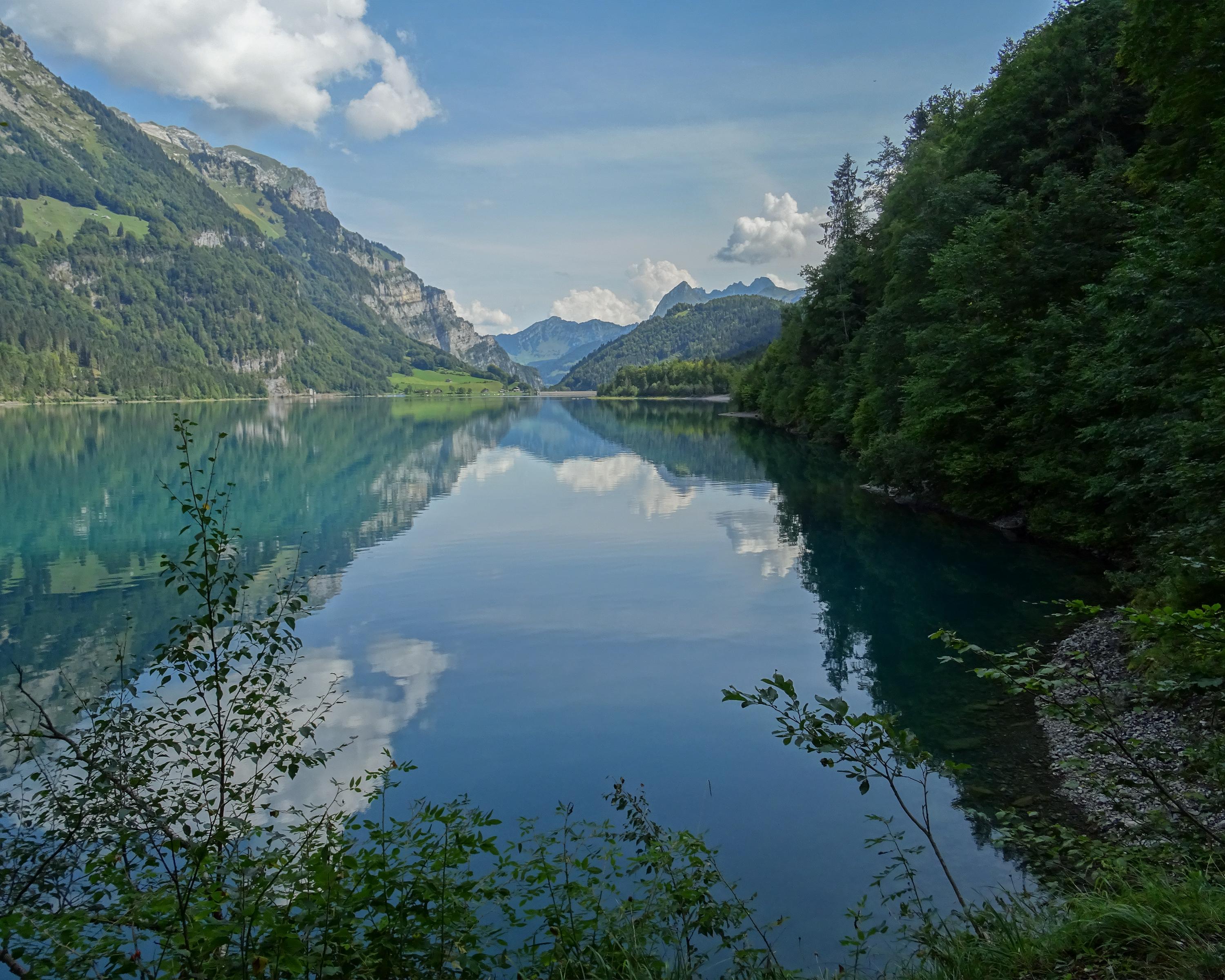
Firstly, along the Klöntalersee reservoir surrounded by steep rock faces. A decent to Glarus then follows - From the dam of the artificial lake through a narrow valley with steep rock faces and imposing boulders lapped by the bubbling Löntsch waters.

Height profile

Weather:

Comments about this activity or place?

Thank you for your feedback!