DE
FR
IT
EN
Directory
Weather
Map / Route
Timetable
Leisure
TV guide
Cinema
Web search
Apps
More
Personal Data »
Login:
Register
Password forgotten
or
Log in with local.ch
Log in with Apple
Log in with Facebook
Log in with Google
Log in with LinkedIn
Please note that our new
privacy statement
as well as the revised
terms and conditions of use
apply.
Leisure
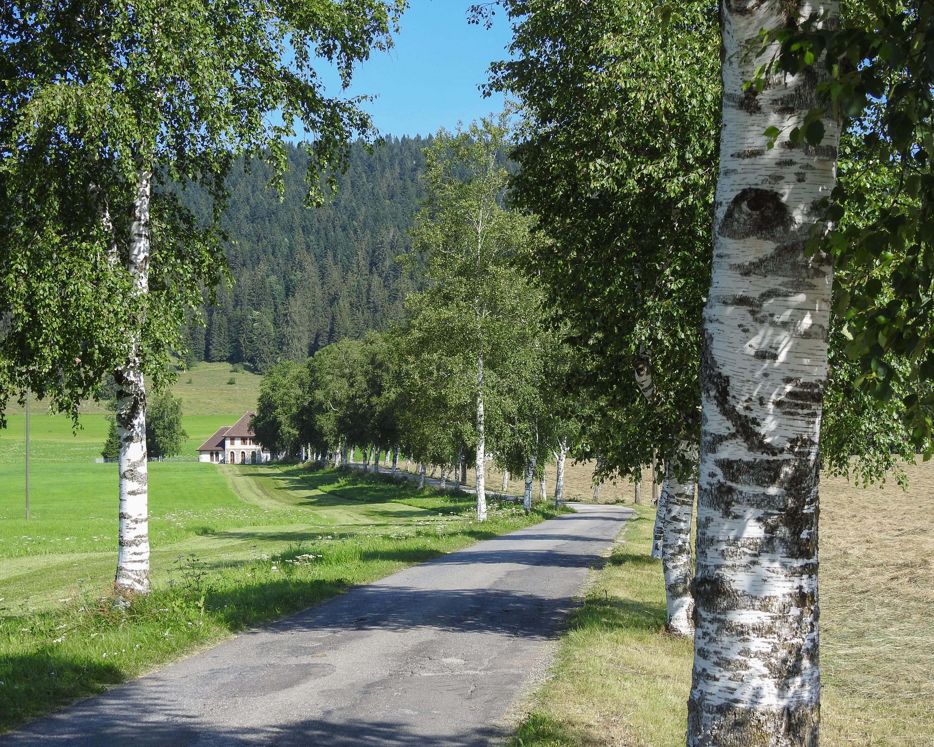
Biking in Val de Travers
Arc jurassien
Regional route No. 54, Ste-Croix–Le Locle
Description
Regional route
No. 54 (Ste-Croix–Le Locle)
Length
60 km
Ascent • Descent
↑ 1000 m • ↓ 1150 m
Lowest point • Highest point
917 m • 1200 m
Fitness level
difficult
The remote high-valley of La Brévine, wind-blown and bleak even in summer. Then the cave-world of Col-des-Roches: the mills were once served by underground water courses. In Le Locle, the main street is lined by well-known watch companies.
Comments on this information?
We welcome your feedback!
Presented by
Route
Height profile
Weather:
More...
Comments about this activity or place?
Incorrect information
Missing information
Another topic
Thank you for your feedback!
Close