search.ch

ViaSuworow

Regional route No. 55, Altdorf–Biel-Chinzig
  • Image 1

Description

Regional route
No. 55 (Altdorf–Biel-Chinzig)
Length
10 km
Ascent • Descent
↑ 1300 m • ↓ 150 m
Lowest point • Highest point
462 m • 1619 m
Hiking time
4 h 30 min
Grade
medium (mountain hiking trail)
Fitness level
difficult
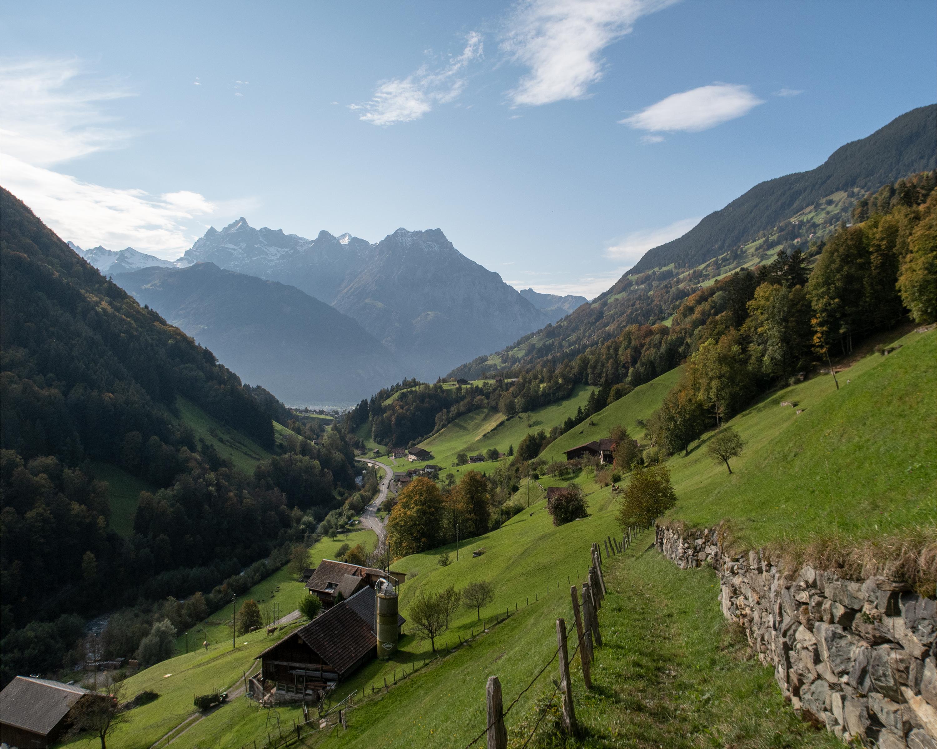
At the Urnersee lake, Suvorov was unable to proceed any further as the French had seized all boats. So the ViaSuworow follows the route of the Russians from Altdorf into the Schächental valley, where cobbled cattle tracks bordered by drystone walling lead to Biel-Chinzig.

Height profile

Weather:

Comments about this activity or place?

Thank you for your feedback!