search.ch

Chemin du Vignoble

Regional route No. 72, Martigny–Sion
  • Image 1

Description

Regional route
No. 72 (Martigny–Sion)
Length
35 km
Ascent • Descent
↑ 500 m • ↓ 300 m
Lowest point • Highest point
456 m • 658 m
Fitness level
medium
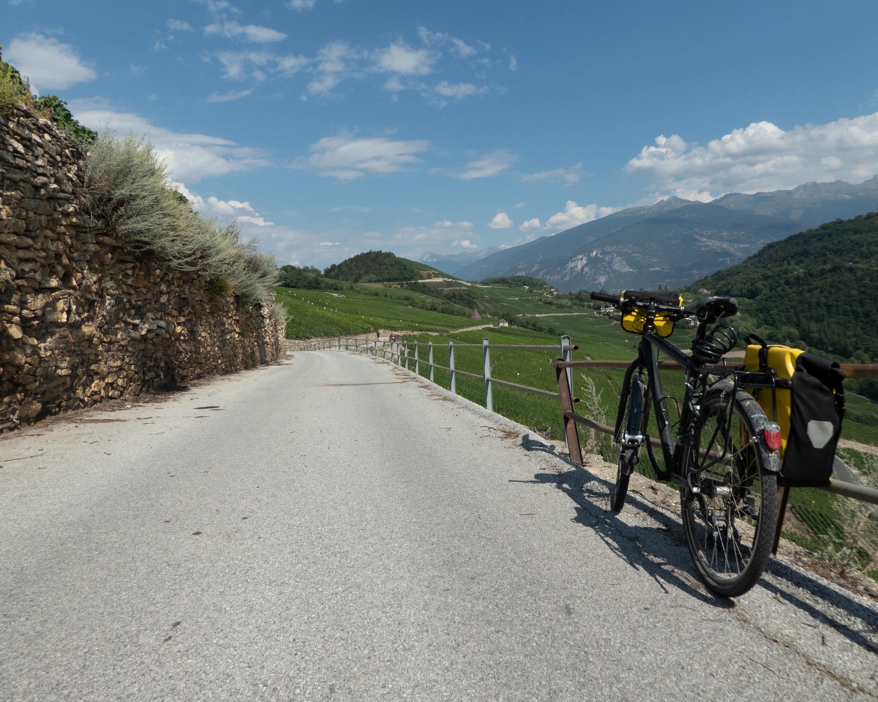
This route takes in vigorous ups and downs on the steep, sun-drenched steep southern slope before passing through well-tended vineyards, small wine-growing villages and historic areas such as Saillon, with the infamous forger Farinet’s mini vineyard, and the octagonal tower of St-Pierre-de-Clages in Chamoson.

Height profile

Weather:

Comments about this activity or place?

Thank you for your feedback!