search.ch

Appenzeller Alpenweg

Local route No. 980, Schwägalp–Urnäsch
  • Image 1

Description

Local route
No. 980 (Schwägalp–Urnäsch)
Length
13 km
Ascent • Descent
↑ 600 m • ↓ 1100 m
Lowest point • Highest point
814 m • 1574 m
Hiking time
4 h 25 min
Grade
medium (mountain hiking trail)
Fitness level
difficult
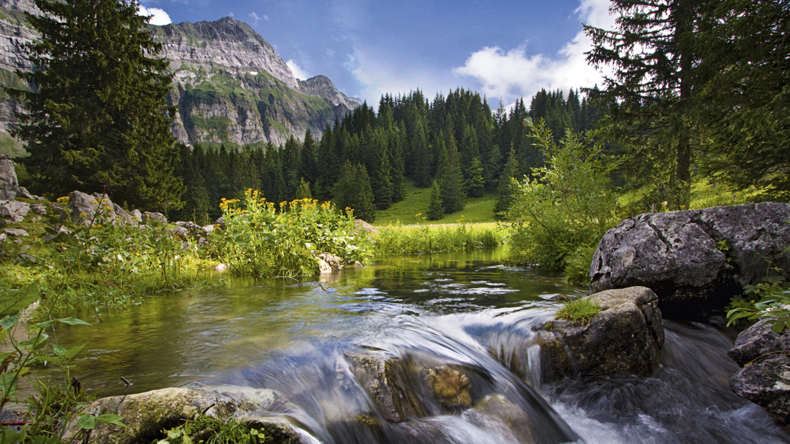
While there is noise and hustle and bustle around the valley station at the beginning of this trail, you are then almost completely alone on various Alps, in the middle of an untouched and unspoilt natural landscape. This stage leads over the Chammhalde.

Booking Information

Height profile

Weather:

Appenzellerland Tourismus

Comments about this activity or place?

Thank you for your feedback!