search.ch

ViaSuworow

Regional route No. 55, Muotathal–Hinter Klöntal
  • Image 1

Description

Regional route
No. 55 (Muotathal–Hinter Klöntal)
Length
19 km
Ascent • Descent
↑ 1100 m • ↓ 880 m
Lowest point • Highest point
625 m • 1550 m
Hiking time
6 h
Grade
medium (mountain hiking trail)
Fitness level
difficult
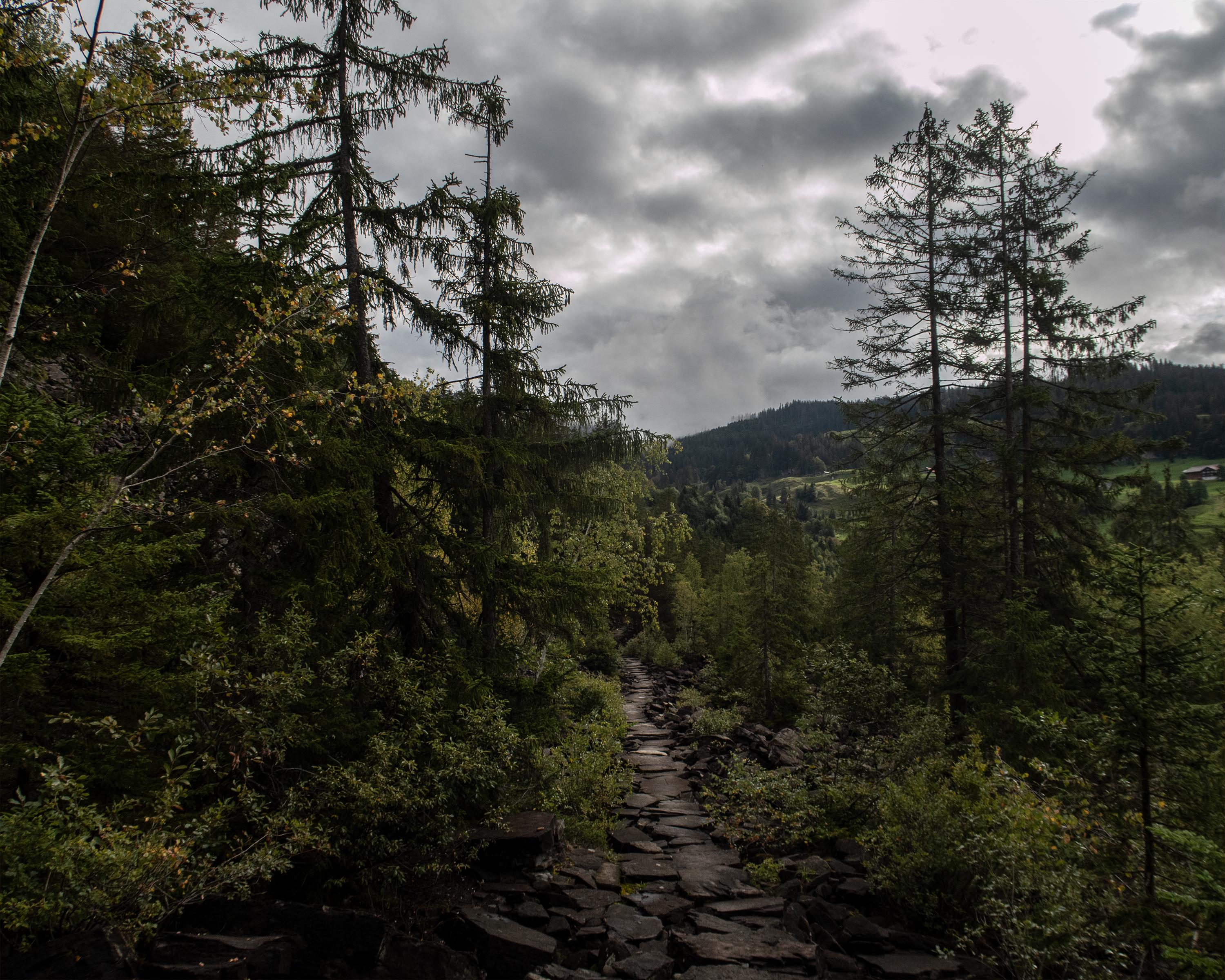
With views of the primeval forest reserve of Bödmeren, through which Suvorov marched in flight from the French, the route leads from Muotatal along alp trails and an impressive stone-slab path in Schluecht over the Pragelpass to Richisau in the hinteren Klöntal valley.

Height profile

Weather:

Comments about this activity or place?

Thank you for your feedback!