search.ch

Emmenuferweg

Regional route No. 83, Brienzer Rothorn–Sörenberg
  • Image 1

Description

Regional route
No. 83 (Brienzer Rothorn–Sörenberg)
Length
10 km
Ascent • Descent
↑ 100 m • ↓ 1250 m
Lowest point • Highest point
1146 m • 2328 m
Hiking time
3 h
Grade
medium (mountain hiking trail)
Fitness level
difficult
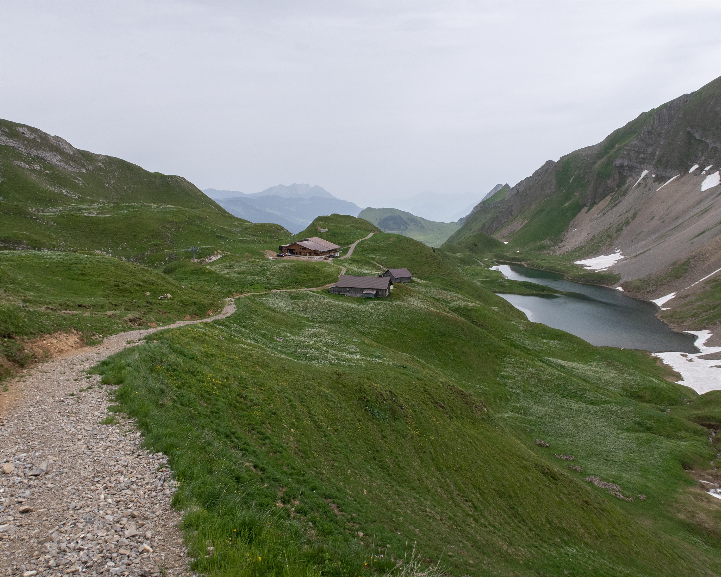
The first leg of the Emmenuferweg is a place of wonder. The start on Brienzer Rothorn mountain is simply spectacular. Accompanied by amazing views of Lake Brienz and the Bernese Alps, the route leads to the source of the Emme river and enters the UNESCO Biosphere Entlebuch.

Height profile

Weather:

Comments about this activity or place?

Thank you for your feedback!