search.ch

Züri Oberland-Höhenweg

Regional route No. 69, Hulftegg–Chrüzegg
  • Image 1

Description

Regional route
No. 69 (Hulftegg–Chrüzegg)
Length
11 km
Ascent • Descent
↑ 760 m • ↓ 440 m
Lowest point • Highest point
947 m • 1310 m
Hiking time
4 h
Grade
easy (hiking trail)
Fitness level
medium
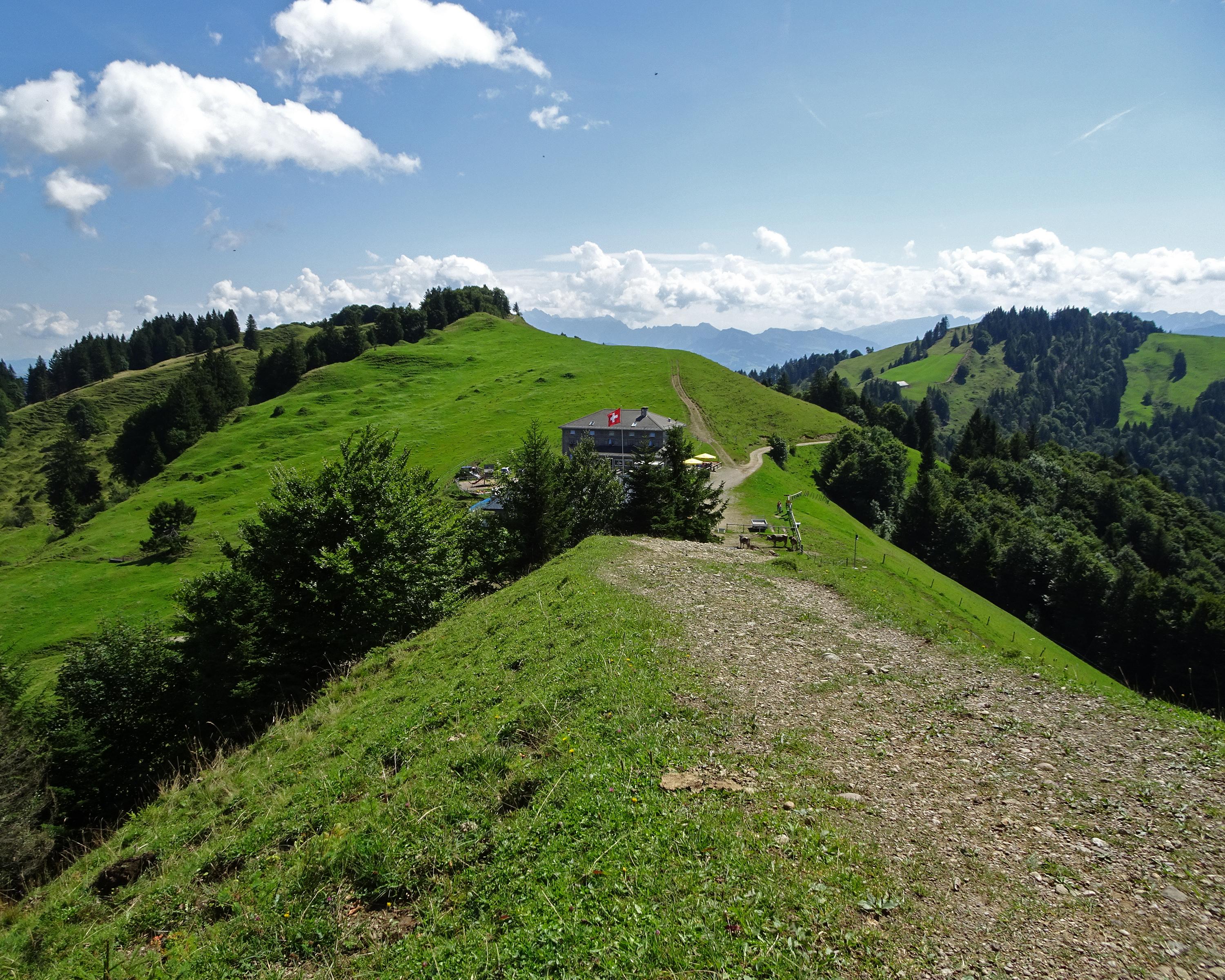
Enjoyable, varied paths follow the hillcrest, offering sweeping views over the moraine landscape to Lake Constance and the edge of the Alps with the Säntis. Following the cantonal border of Zurich and St. Gallen, the trail heads south. Beautiful beech trees and hospitality enrich the hike.

Height profile

Weather:

Comments about this activity or place?

Thank you for your feedback!