DE
FR
IT
EN
Directory
Weather
Map / Route
Timetable
Leisure
TV guide
Cinema
Snow
Web search
Apps
More
Personal Data »
Login:
Register
Password forgotten
or
Log in with local.ch
Log in with Apple
Log in with Facebook
Log in with Google
Log in with LinkedIn
Please note that our new
privacy statement
as well as the revised
terms and conditions of use
apply.
Leisure
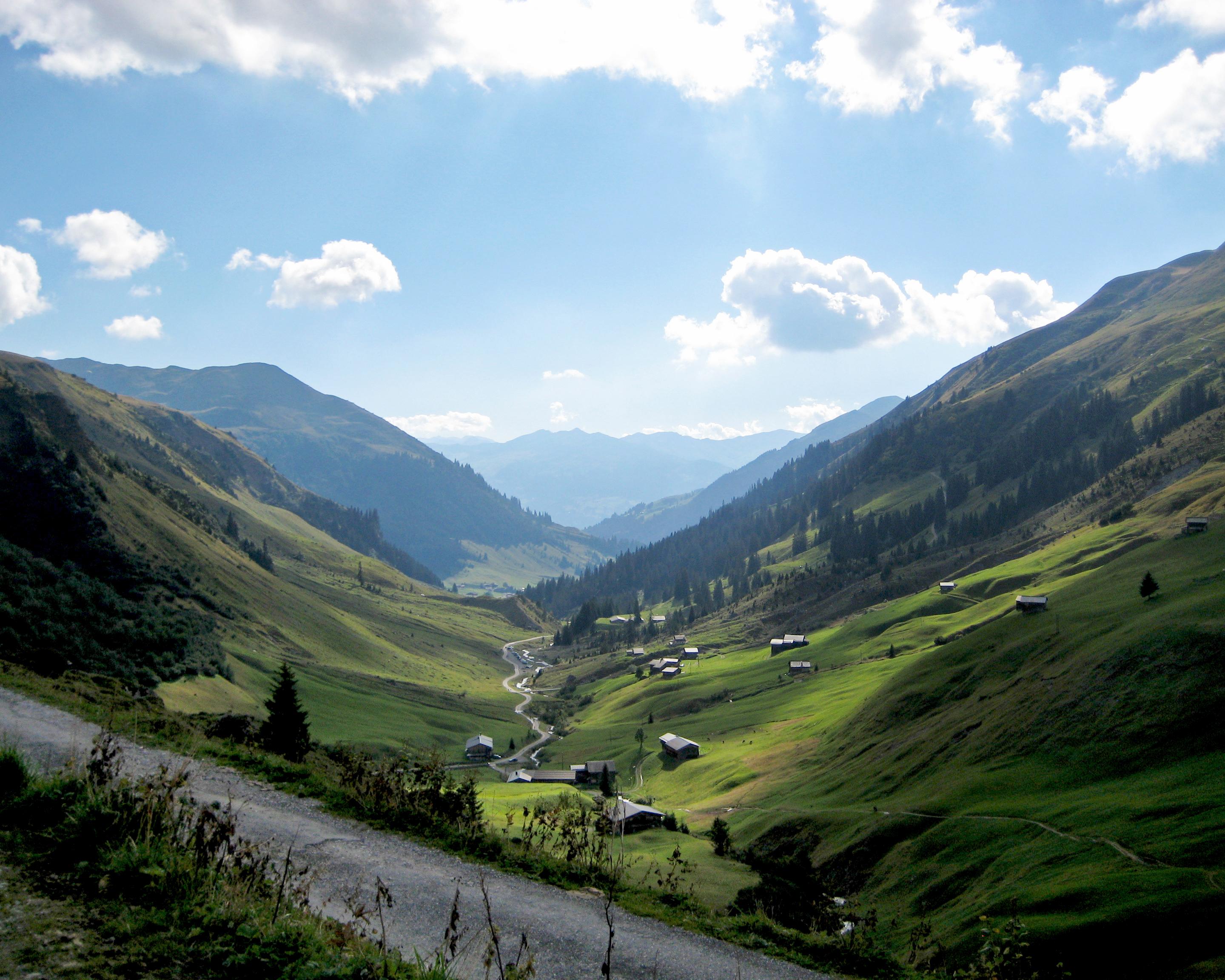
Mountain bike in Graubünden
Panorama Bike, Stage 1/3
Local route No. 330, Stage 1: St. Antönien – Klosters Platz
Description
Local route
No. 330 (St. Antönien – Grüsch)
Length
29 km
Ascent • Descent
↑ 1400 m • ↓ 1600 m
Lowest point • Highest point
814 m • 1849 m
Grade
difficult
Fitness level
difficult
Local route No. 330:
Panorama Bike
Stages
0. Klosters Platz – Pragg-Jenaz
0. Pragg-Jenaz – Grüsch
0. St. Antönien – Klosters Platz
The stage takes us from St. Antönien down to Küblis. We bike alongside the Landquart river before climbing up via Saas to the Madrisa skiing area. The final high-speed descent down a single trail takes us back to our starting point at Klosters.
Booking Information
E-mail:
info@praettigau.ch
Comments on this information?
We welcome your feedback!
Presented by
Route
Height profile
Weather:
More...
Prättigau Tourismus
Valzeinastrasse 6, 7214 Grüsch
Prättigau Tourismus
Valzeinastrasse 6, 7214 Grüsch
081 325 11 11
Comments about this activity or place?
Incorrect information
Missing information
Another topic
Thank you for your feedback!
Close