DE
FR
IT
EN
Directory
Weather
Map / Route
Timetable
Leisure
TV guide
Cinema
Web search
Apps
More
Personal Data »
Login:
Register
Password forgotten
or
Log in with local.ch
Log in with Apple
Log in with Facebook
Log in with Google
Log in with LinkedIn
Please note that our new
privacy statement
as well as the revised
terms and conditions of use
apply.
Leisure
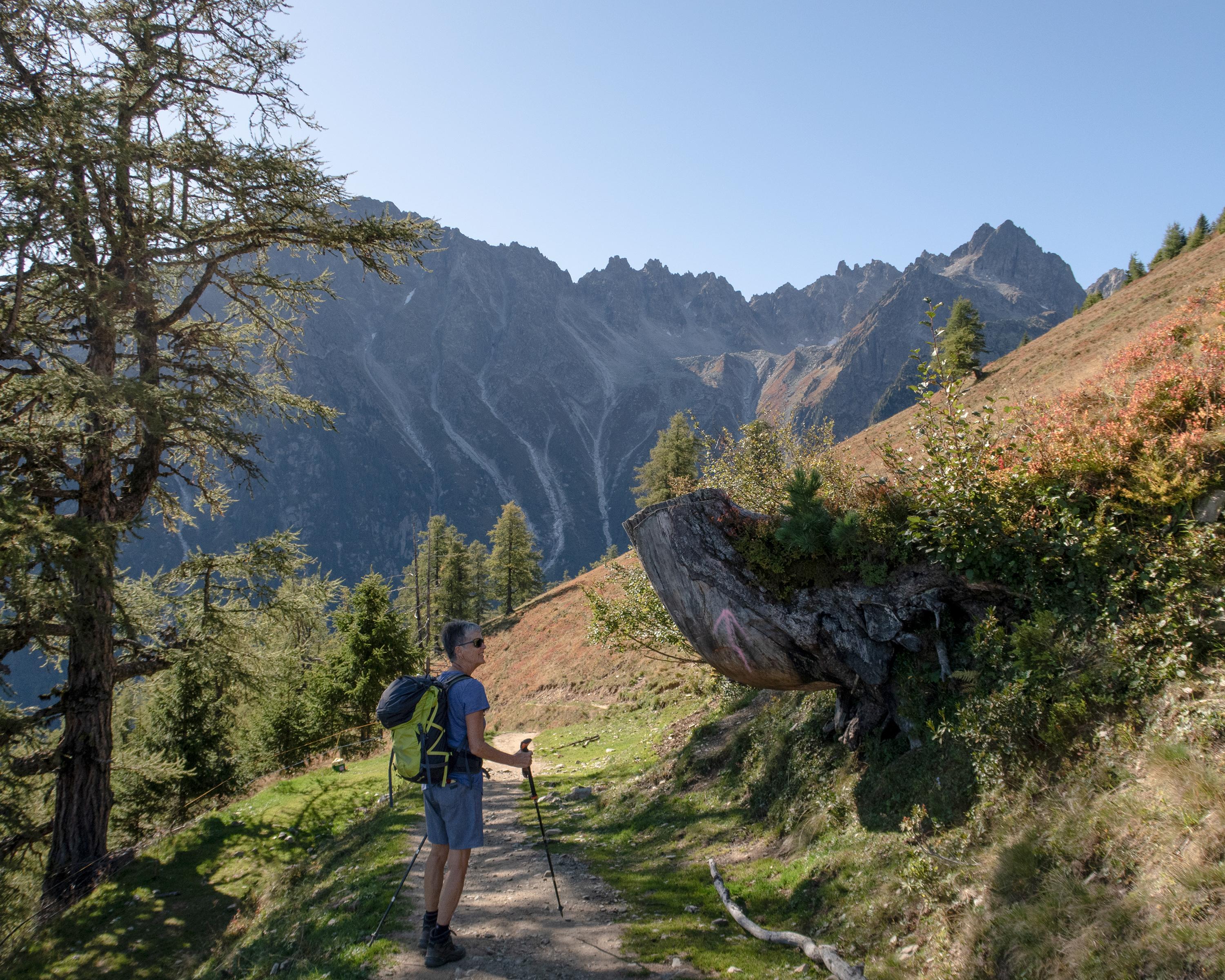
Hike in Valais
Alpine Passes Trail
National route No. 6, Champex–Trient
Description
National route
No. 6 (Champex–Trient)
Length
16 km
Ascent • Descent
↑ 900 m • ↓ 1100 m
Lowest point • Highest point
1280 m • 2050 m
Hiking time
5 h 30 min
Grade
medium (mountain hiking trail)
Fitness level
difficult
This relatively short stage is part of the "Tour du Mont Blanc". After the romantic, uninhabited Durnand valley comes a steep climb to Alp Bovine, where magnificent views of the Rhone Valley and Martigny beckon.
Comments on this information?
We welcome your feedback!
Presented by
Route
Height profile
Weather:
More...
Comments about this activity or place?
Incorrect information
Missing information
Another topic
Thank you for your feedback!
Close