search.ch

Walserweg

Regional route No. 35, Klosters–St. Antönien
  • Image 1

Description

Regional route
No. 35 (Klosters–St. Antönien)
Length
21 km
Ascent • Descent
↑ 1600 m • ↓ 1300 m
Lowest point • Highest point
1127 m • 2603 m
Hiking time
8 h
Grade
medium (mountain hiking trail)
Fitness level
difficult
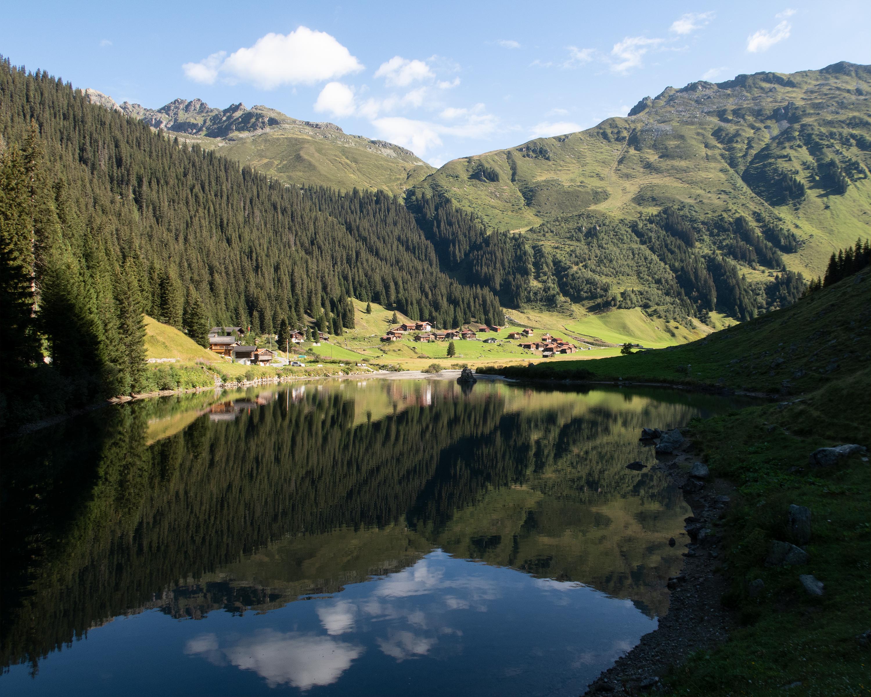
A steep ascent leads up the Schlappintobel and through the forest into the Saas Alpine region. On the Rätschenjoch, sweeping views open up to the north and south. Scattered settlements are reminders that the Walser people cultivated inhospitable and remote areas in the late Middle Ages.

Height profile

Weather:

Comments about this activity or place?

Thank you for your feedback!