search.ch

Kartäuser-Fürstenland-Route

Regional route No. 33, Stein am Rhein–Rorschach
  • Image 1

Description

Regional route
No. 33 (Stein am Rhein–Rorschach)
Length
87 km
Ascent • Descent
↑ 1050 m • ↓ 1100 m
Lowest point • Highest point
386 m • 695 m
Fitness level
medium
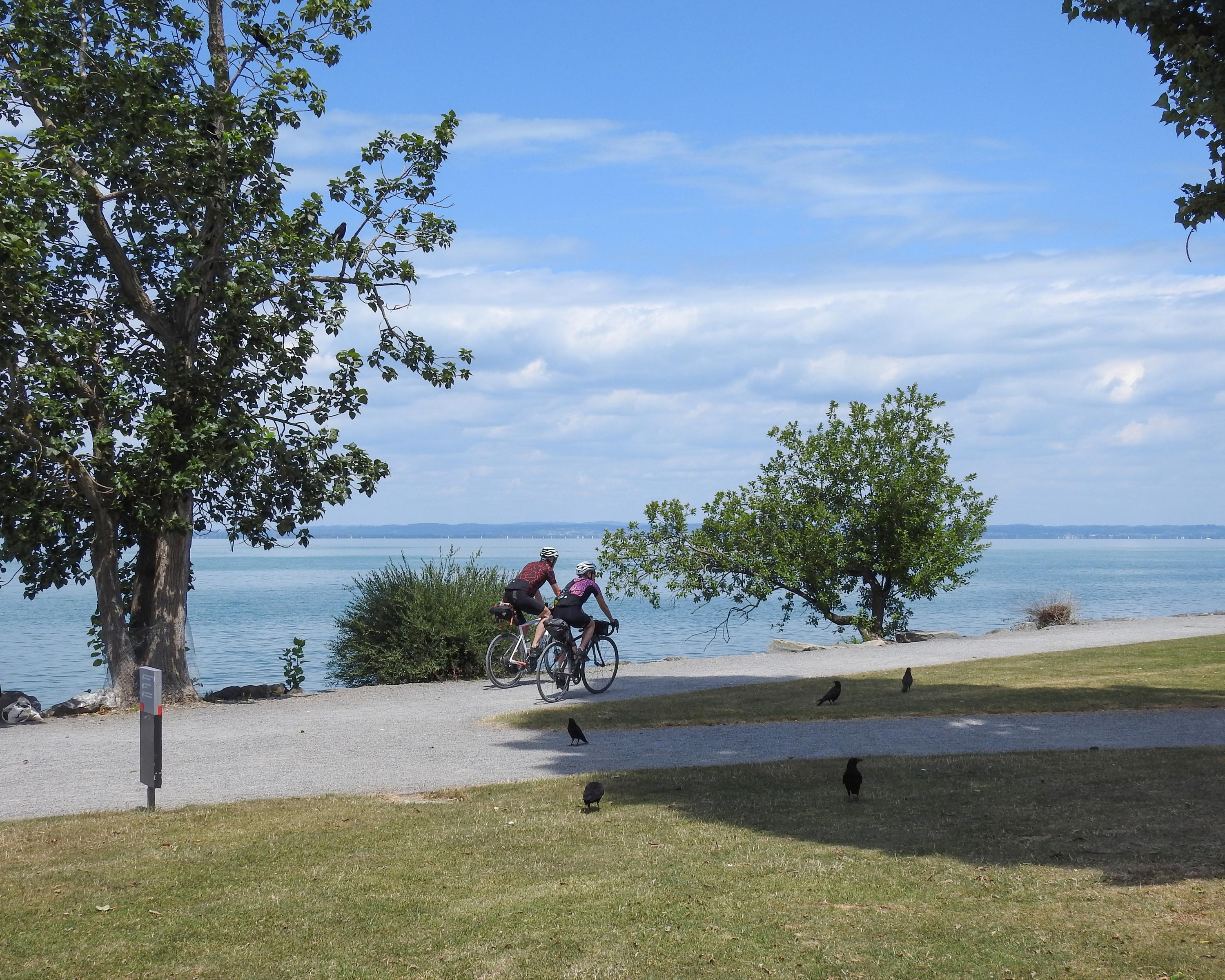
Passing timber-framed houses of Zurich’s wine country, on past the idyllic Nussbaumer Seen (lakes) and the Kartause in Ittingen, through rolling hills to Wil and on to St. Gallen with its venerable Stift Library and finally ending at the silvery Bodensee.

Height profile

Weather:

Comments about this activity or place?

Thank you for your feedback!