search.ch

ViaRhenana

Regional route No. 60, Kreuzlingen–Steckborn
  • Image 1

Description

Regional route
No. 60 (Kreuzlingen–Steckborn)
Length
19 km
Ascent • Descent
↑ 340 m • ↓ 340 m
Lowest point • Highest point
394 m • 483 m
Hiking time
4 h 45 min
Grade
easy (hiking trail)
Fitness level
medium
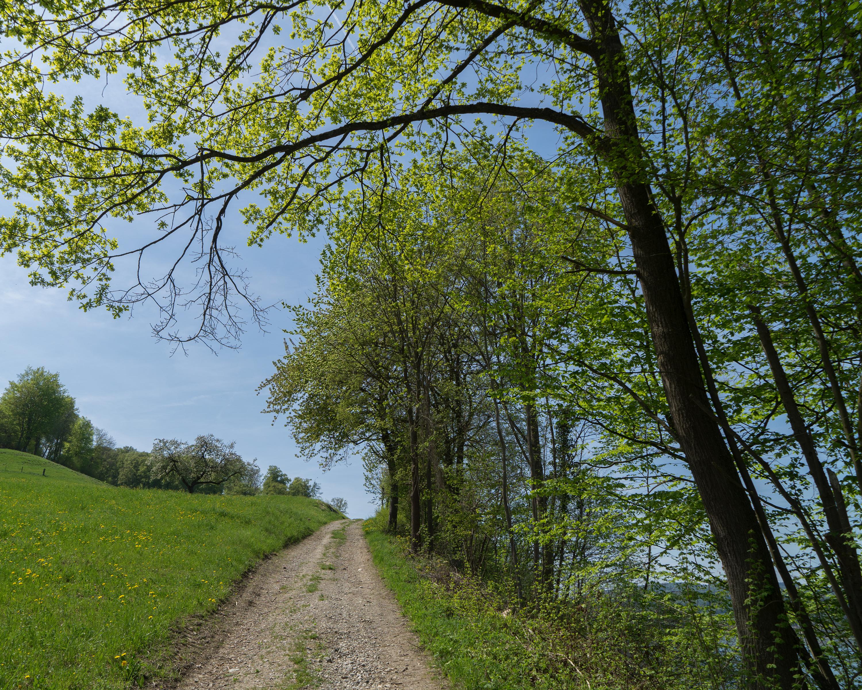
Hike along the idyllic Seerhein shore and through shady northern slopes above the lake with views of Untersee and Insel Reichenau. Historic places of interest along the way: Gottlieben, Ermatingen, Steckborn and Arenenberg Castle with its Napoleon Museum.

Height profile

Weather:

Comments about this activity or place?

Thank you for your feedback!