DE
FR
IT
EN
Directory
Weather
Map / Route
Timetable
Leisure
TV guide
Cinema
Web search
Apps
More
Personal Data »
Login:
Register
Password forgotten
or
Log in with local.ch
Log in with Apple
Log in with Facebook
Log in with Google
Log in with LinkedIn
Please note that our new
privacy statement
as well as the revised
terms and conditions of use
apply.
Leisure
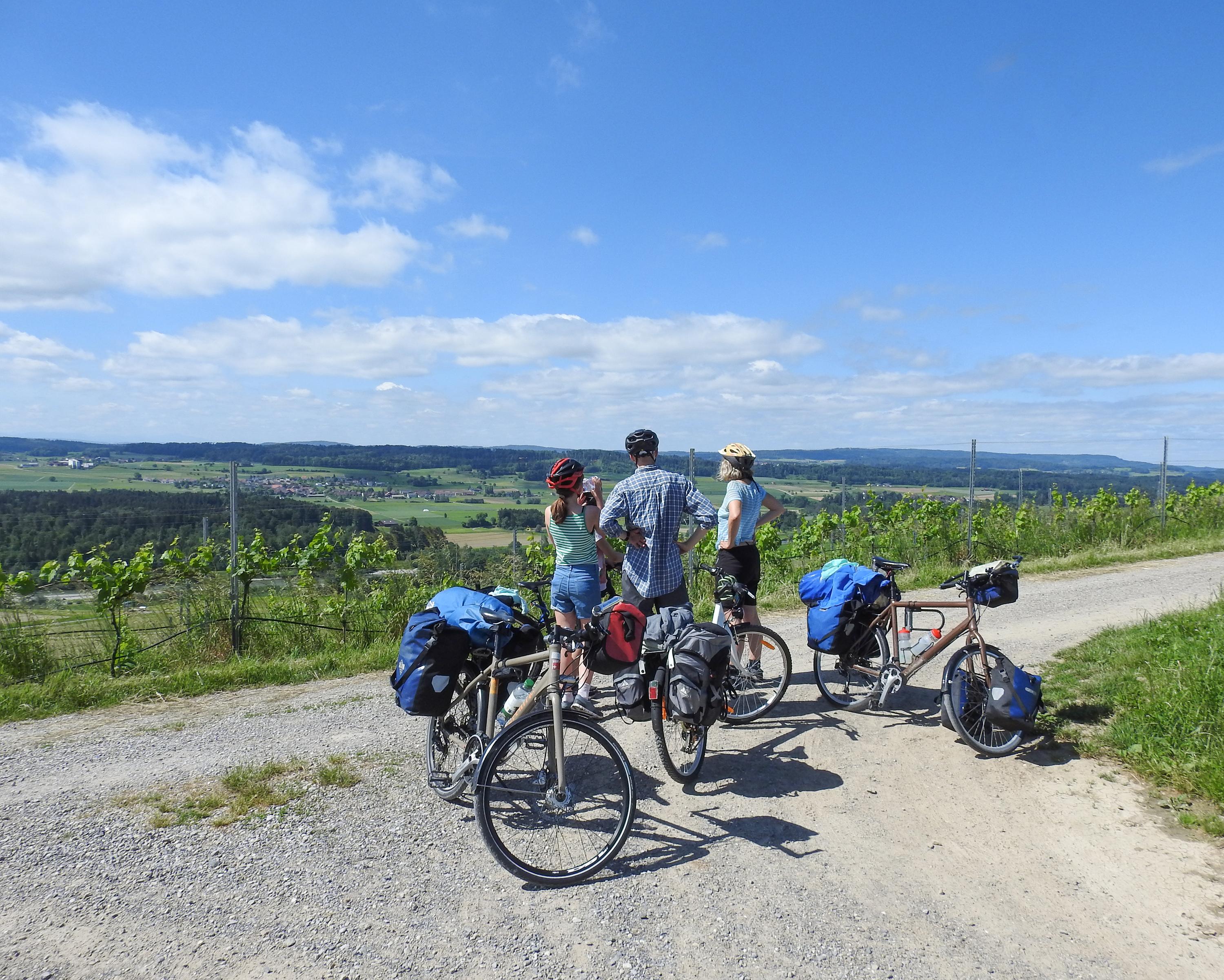
Biking in Zurich Region
Wyland–Downtown
Regional route No. 45, Stein am Rhein–Winterthur
Description
Regional route
No. 45 (Stein am Rhein–Winterthur)
Length
30 km
Ascent • Descent
↑ 400 m • ↓ 360 m
Lowest point • Highest point
372 m • 500 m
Fitness level
easy
Whirling crowds of tourists in Stein am Rhein, proudly decorated half-timbered houses in Stammheim, the slow-flowing Thur in the flat foreland and the experimental, interactive Technorama in Oberwinterthur are all part of this stage.
Comments on this information?
We welcome your feedback!
Presented by
Route
Height profile
Weather:
More...
Comments about this activity or place?
Incorrect information
Missing information
Another topic
Thank you for your feedback!
Close