search.ch

WALSA-Weg

Regional route No. 68, Bad Ragaz–Garschlu
  • Image 1

Description

Regional route
No. 68 (Bad Ragaz–Garschlu)
Length
10 km
Ascent • Descent
↑ 700 m • ↓ 80 m
Lowest point • Highest point
502 m • 1118 m
Hiking time
3 h
Grade
easy (hiking trail)
Fitness level
medium
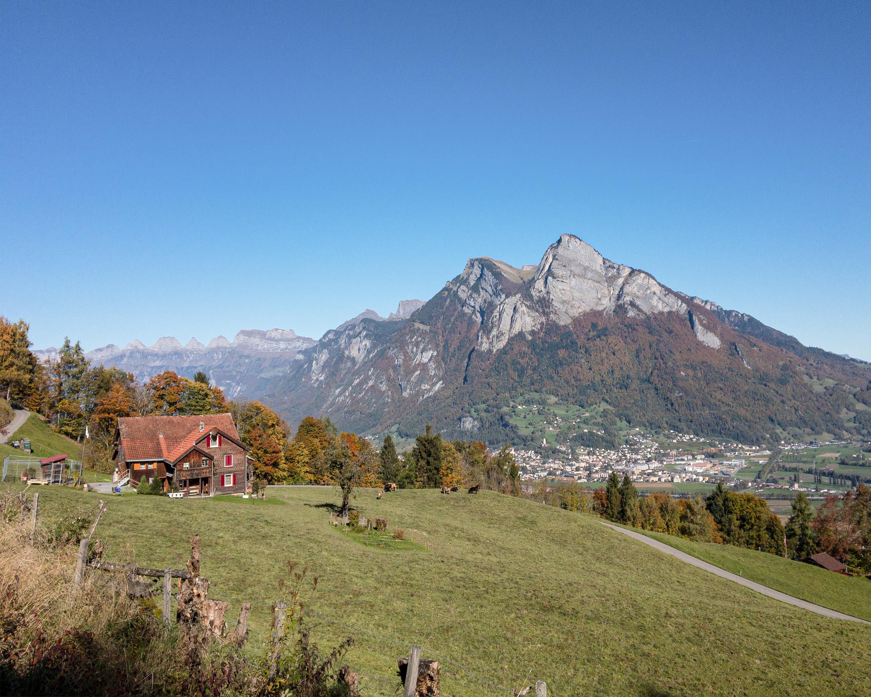
Start at Bad Ragaz, where thermal waters have bubbled since 1840. Freudenberg ruins, open to the public, then a long ascent in light mixed forest, with magnificent views of the Rhine Valley and Graubunden’s mountain world. Over seven bridges to Garschlu.

Height profile

Weather:

Comments about this activity or place?

Thank you for your feedback!