search.ch

ViaBerna

Regional route No. 38, Thun–Aeschi bei Spiez
  • Image 1

Description

Regional route
No. 38 (Thun–Aeschi bei Spiez)
Length
20 km
Ascent • Descent
↑ 680 m • ↓ 360 m
Lowest point • Highest point
558 m • 862 m
Hiking time
5 h 30 min
Grade
easy (hiking trail)
Fitness level
difficult
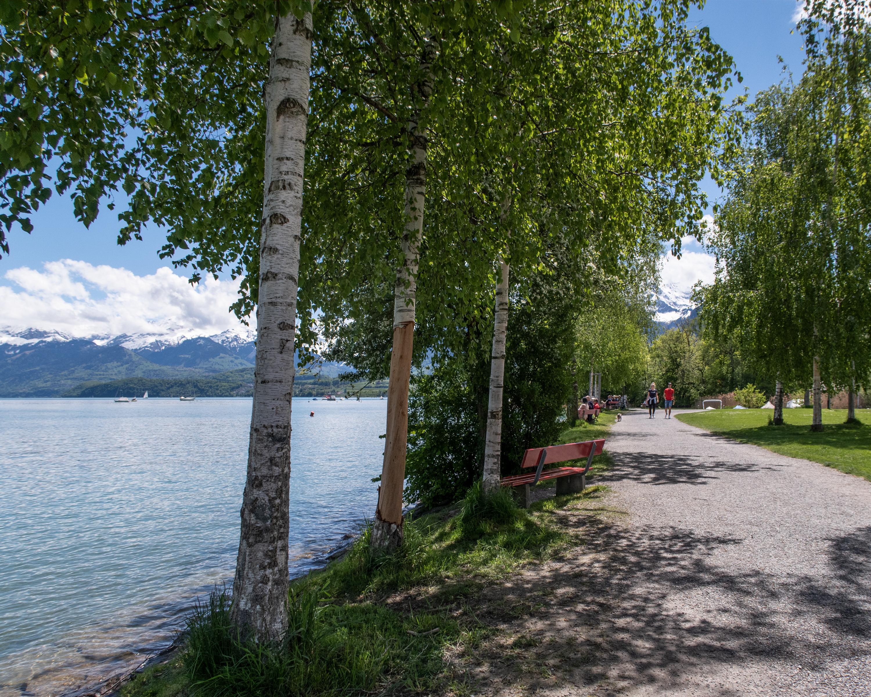
You leave Thun through the park-like shore landscape towards Gwatt. Above Lake Thun, crossing the Kander Gorge, you reach Spiez via meadows and forests. Following the idyllic path to Faulensee, you finally leave the shore here. The destination is the village of Aeschi with a view of the Niesen and the lake.

Height profile

Weather:

Comments about this activity or place?

Thank you for your feedback!