search.ch

Jakobsweg Graubünden

Regional route No. 43, Zernez–S-chanf (Cinous-chel)
  • Image 1

Description

Regional route
No. 43 (Zernez–S-chanf (Cinous-chel))
Length
10 km
Ascent • Descent
↑ 320 m • ↓ 190 m
Lowest point • Highest point
1471 m • 1723 m
Hiking time
2 h 35 min
Grade
medium (mountain hiking trail)
Fitness level
easy
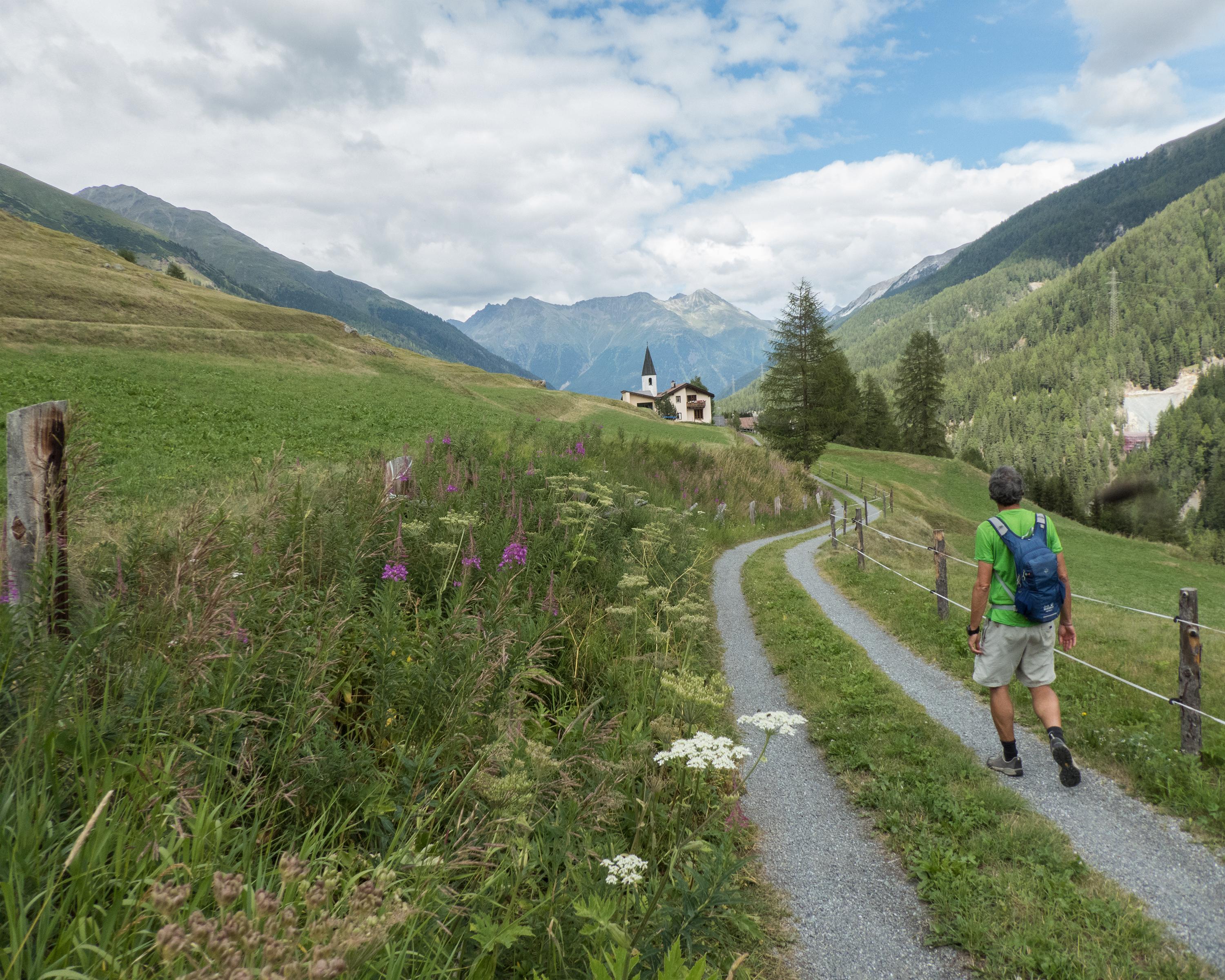
The short and relatively flat hike leads from the gateway to the Swiss National Park in Zernez upstream along the Inn. The border to the Upper Engadine is crossed at the little church of Punt Ota and the bridge of the same name. Pastures and mountain streams, wooded slopes and the diversity of Alpine flora will enrich your hike.

Height profile

Weather:

Comments about this activity or place?

Thank you for your feedback!