search.ch

Waldstätterweg

Regional route No. 98, Beckenried–Rütli
  • Image 1

Description

Regional route
No. 98 (Beckenried–Rütli)
Length
13 km
Ascent • Descent
↑ 680 m • ↓ 680 m
Lowest point • Highest point
435 m • 724 m
Hiking time
4 h 15 min
Grade
medium (mountain hiking trail)
Fitness level
medium
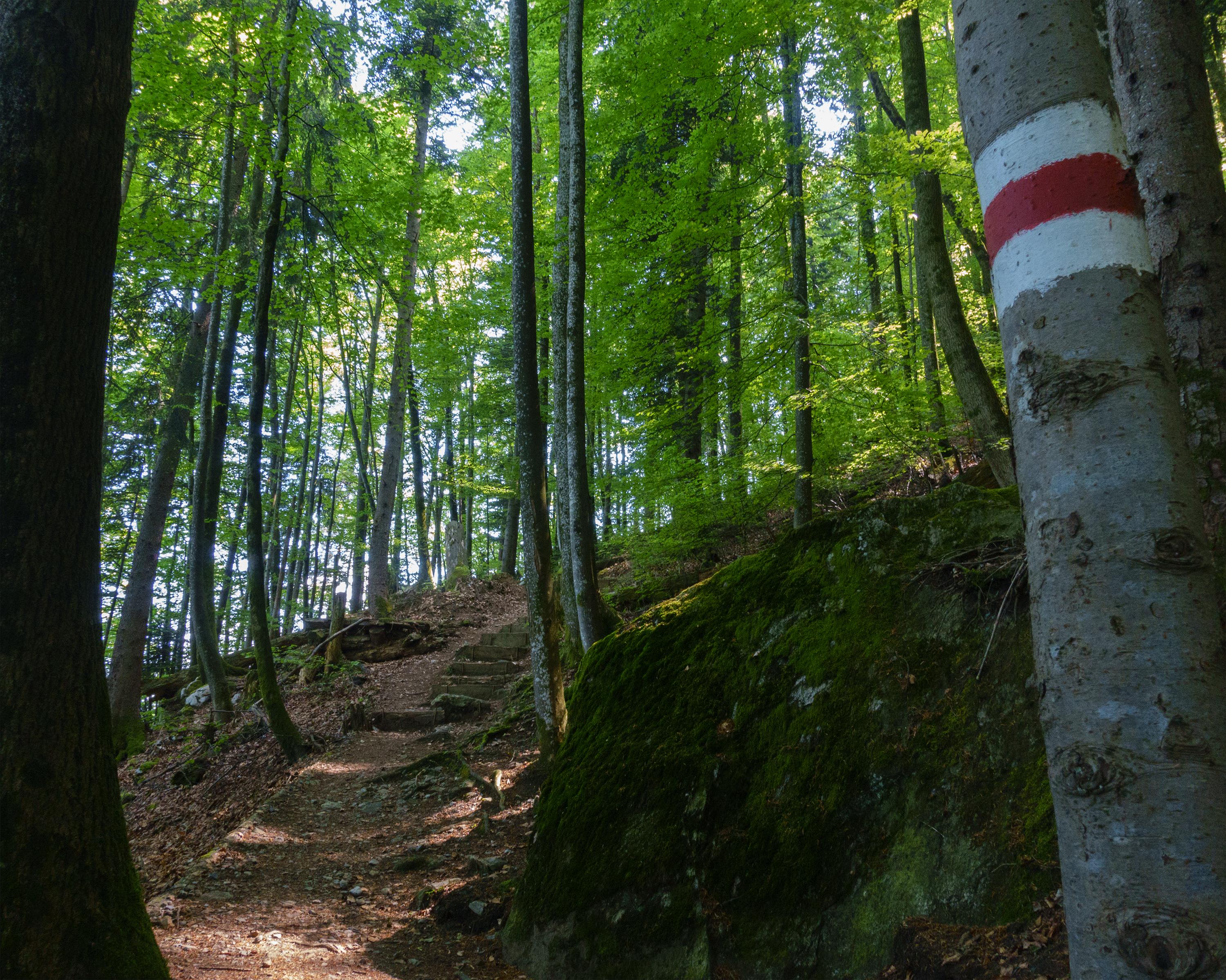
Through the refreshingly cool gorge on the Urnersee lake - along the lakeshore road to Risleten and a climb through the attractive Risletenschlucht gorge. Crossing of the Stützberg along the historic path to Volligen and arrival in Rütli, with views down to the Urnersee lake.

Height profile

Weather:

Comments about this activity or place?

Thank you for your feedback!