DE
FR
IT
EN
Directory
Weather
Map / Route
Timetable
Leisure
TV guide
Cinema
Snow
Web search
Apps
More
Personal Data »
Login:
Register
Password forgotten
or
Log in with local.ch
Log in with Apple
Log in with Facebook
Log in with Google
Log in with LinkedIn
Please note that our new
privacy statement
as well as the revised
terms and conditions of use
apply.
Leisure
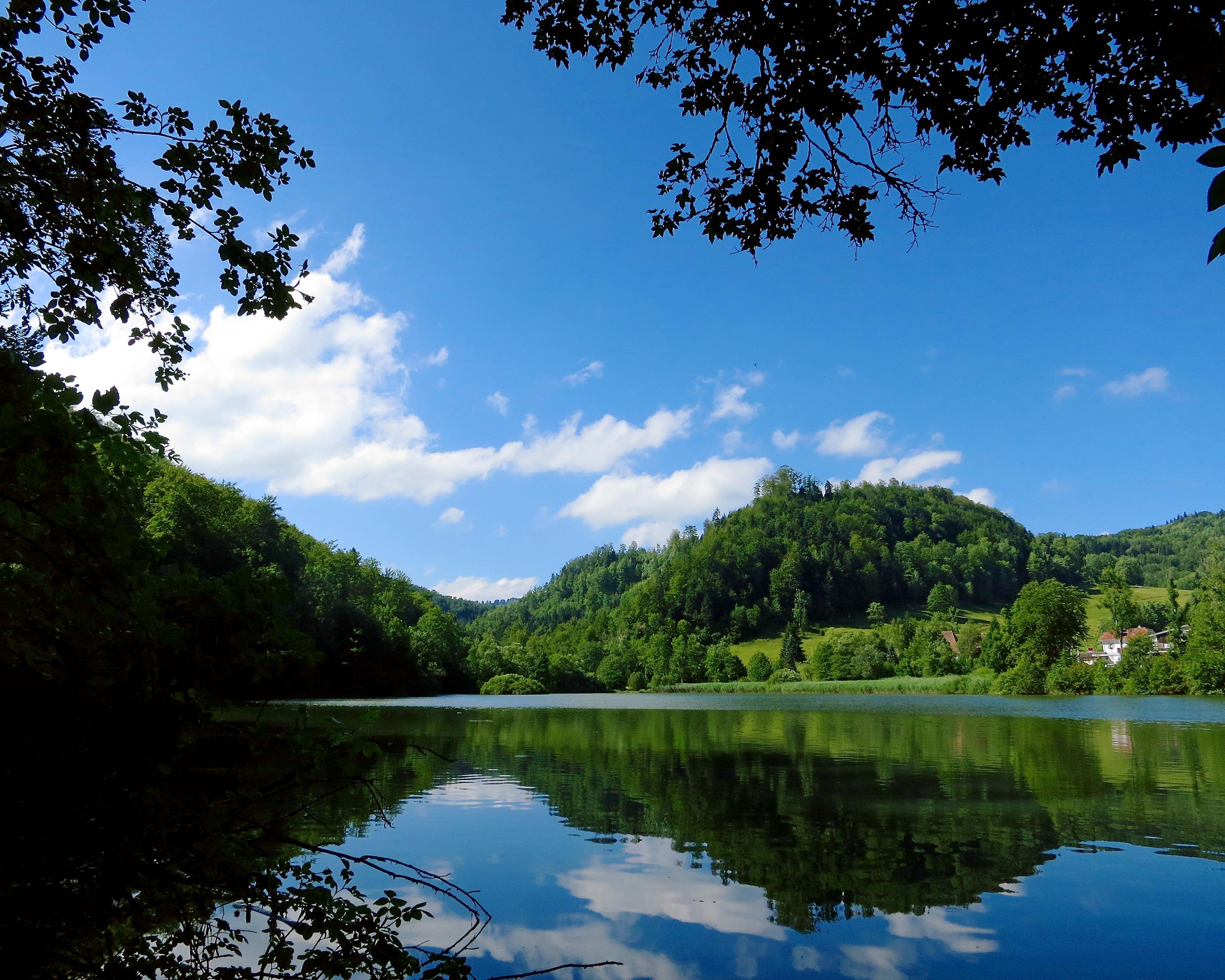
Hike in Canton Jura
Parcours de Lucelle
Accessible route No. 463, Stage 3: Lucelle – Lucelle
Description
Accessible route
No. 463
Length
2 km
Ascent • Descent
↑ 20 m • ↓ 20 m
Lowest point • Highest point
597 m • 605 m
Hiking time
30 min
Grade
medium
Fitness level
easy
This route runs around the enchanting hamlet of Lucelle, which is set in a nature reserve. The remains of a Cistercian monastery will take you back to bygone days and the wild vegetation along the lake shore will make this an unforgettable tour.
Booking Information
E-mail:
tourismus@procap.ch
Comments on this information?
We welcome your feedback!
Presented by
Route
Height profile
Weather:
More...
Procap
Frohburgstrasse 4, 4600 Olten
Procap
Frohburgstrasse 4, 4600 Olten
062 206 88 30
Comments about this activity or place?
Incorrect information
Missing information
Another topic
Thank you for your feedback!
Close