search.ch

Valais Alpine Bike

Regional route No. 41, Crans-Montana–Sierre
  • Image 1

Description

Regional route
No. 41 (Crans-Montana–Sierre)
Length
200 km
Ascent • Descent
↑ 5700 m • ↓ 12200 m
Lowest point • Highest point
523 m • 2312 m
Grade
medium
Fitness level
medium
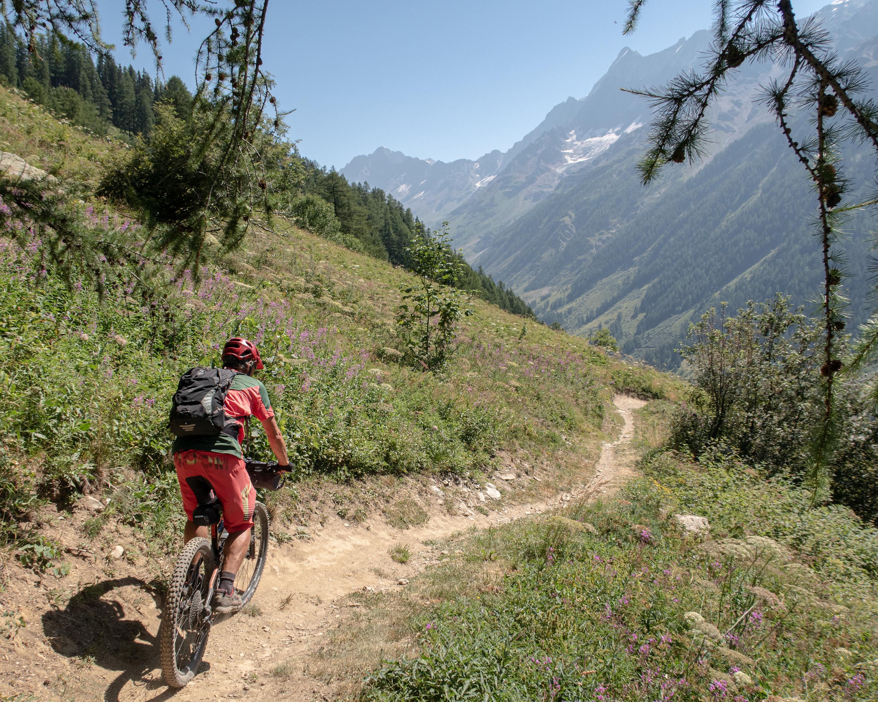
From Crans-Montana on the best single trails to Sierre, with views over the Rhone valley and its side valleys. The highlights on the way include the Vallon de la Tièche, the scenic ride from the Rinderhütte to Jeizinen, the climb to the Gibidum Pass and the trails in the Lötschental (Lötschen Valley), surrounded by massive peaks.

Height profile

Weather:

Comments about this activity or place?

Thank you for your feedback!