search.ch

Via Alpina, Stage 12/20

National route No. 1, Stage 12: Lauterbrunnen – Griesalp
  • Image 1

Description

National route
No. 1 (Vaduz – Montreux)
Length
22 km
Ascent • Descent
↑ 2000 m • ↓ 1400 m
Lowest point • Highest point
797 m • 2613 m
Hiking time
9 h
Grade
medium
Fitness level
difficult
National route No. 1: Via Alpina
Stages
0. Rossinière – Rochers de Naye
0. Grindelwald – Lauterbrunnen
0. Lenk – Gstaad
0. Vaduz (Gaflei, FL) – Sargans
0. Linthal – Urner Boden
0. Urner Boden – Altdorf (UR)
0. Altdorf (UR) – Engelberg
0. Elm – Linthal
0. Sargans – Weisstannen
0. Lauterbrunnen – Griesalp
0. Meiringen – Grindelwald
0. Griesalp – Kandersteg
0. Weisstannen – Elm
0. Rochers de Naye – Montreux
0. Gstaad – L'Etivaz
0. Engelberg – Engstlenalp
0. Kandersteg – Adelboden
0. L'Etivaz – Rossinière
0. Adelboden – Lenk
0. Engstlenalp – Meiringen
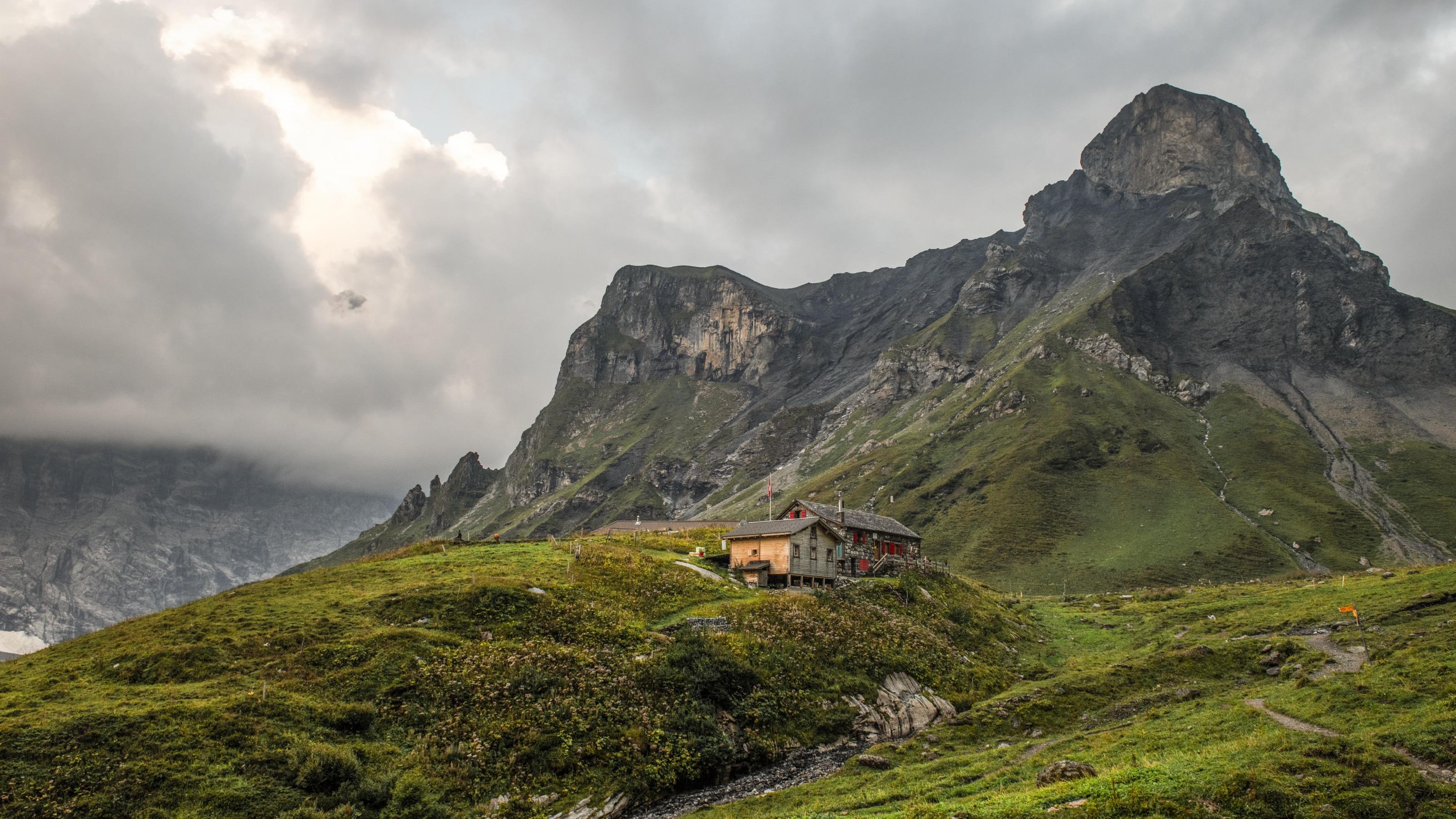
The sunny terrace of Mürren lies directly opposite the Eiger, Mönch &Jungfrau. The trail leads on via Alpine pastures, vantage points such as Bryndli and sturdy huts such as the Rotstockhütte to the Sefinenfurgge, the impressive pass into the Kiental.

Height profile

Weather:

Comments about this activity or place?

Thank you for your feedback!