DE
FR
IT
EN
Directory
Weather
Map / Route
Timetable
Leisure
TV guide
Cinema
Web search
Apps
More
Personal Data »
Login:
Register
Password forgotten
or
Log in with local.ch
Log in with Apple
Log in with Facebook
Log in with Google
Log in with LinkedIn
Please note that our new
privacy statement
as well as the revised
terms and conditions of use
apply.
Leisure
Hike in Valais
Walliser Sonnenweg
Regional route No. 61, Crans-Montana–Leukerbad
Description
Regional route
No. 61 (Crans-Montana–Leukerbad)
Length
24 km
Ascent • Descent
↑ 1150 m • ↓ 1250 m
Lowest point • Highest point
1373 m • 2183 m
Hiking time
7 h 40 min
Grade
medium (mountain hiking trail)
Fitness level
difficult
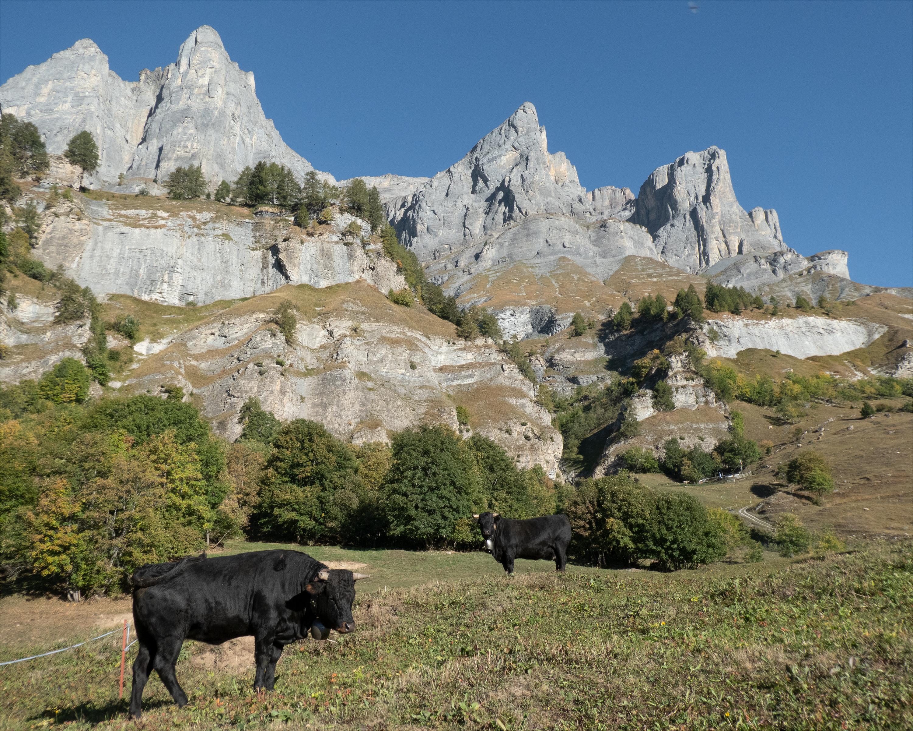
Pleasant hike from Montana along the Bisse du Tsittoret, past inviting mountain inns into the valley of the Tièche. Then on a sunny slope over Varneralp to Leukerbad, where weary hikers can relax in the warm thermal spa.
Comments on this information?
We welcome your feedback!
Presented by
Route
Height profile
Weather:
More...
Comments about this activity or place?
Incorrect information
Missing information
Another topic
Thank you for your feedback!
Close