search.ch

Nord Vaudois–Jura

Regional route No. 22, Neuchâtel (Corcelles)–La Chaux-de-Fonds
  • Image 1

Description

Regional route
No. 22 (Neuchâtel (Corcelles)–La Chaux-de-Fonds)
Length
30 km
Ascent • Descent
↑ 1000 m • ↓ 560 m
Lowest point • Highest point
565 m • 1329 m
Fitness level
difficult
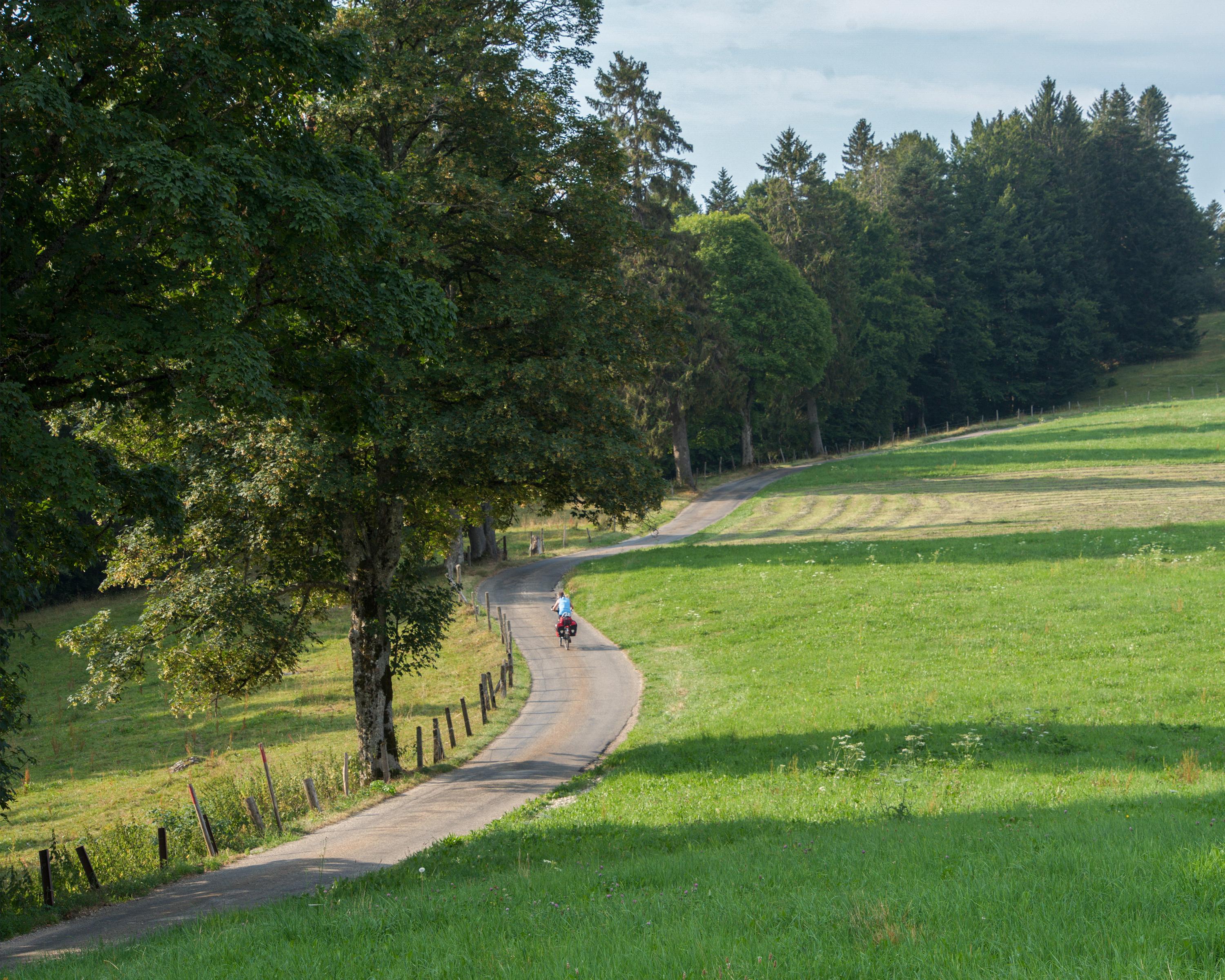
The third stage of the Nord Vaudois-Jura route runs from the wheat fields to the wine-growing region. The starting point is Corcelles near Neuchâtel. The highest climb goes up to the Tête de Ran at an altitude of 1,329 metres. The cycle path then runs down to La Chaux-de-Fonds, a town with a geometric city layout.

Height profile

Weather:

Comments about this activity or place?

Thank you for your feedback!