search.ch

ViaSurprise

Regional route No. 32, Wasserfallen–Beinwil
  • Image 1

Description

Regional route
No. 32 (Wasserfallen–Beinwil)
Length
17 km
Ascent • Descent
↑ 740 m • ↓ 1100 m
Lowest point • Highest point
565 m • 1204 m
Hiking time
5 h 15 min
Grade
easy (hiking trail)
Fitness level
difficult
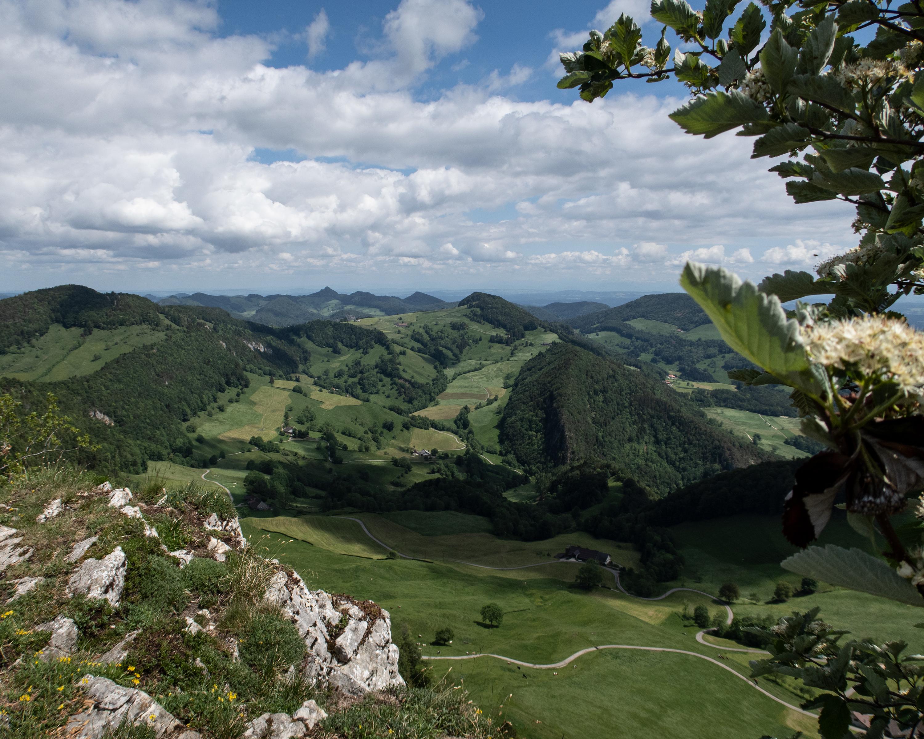
You will reach the culminating point of this hike, the Hohe Winde, via the Vogelberg and the third Jura chain. It reveals stunning views towards Thal Nature Park, the Alps, Vosges Mountains and Black Forest, until the trail winds its way back into the valley to the charming Beinwil Abbey.

Height profile

Weather:

Comments about this activity or place?

Thank you for your feedback!