search.ch

Lötschberg–Jura

Regional route No. 64, Kandersteg–Thun
  • Image 1

Description

Regional route
No. 64 (Kandersteg–Thun)
Length
38 km
Ascent • Descent
↑ 380 m • ↓ 900 m
Lowest point • Highest point
608 m • 1186 m
Fitness level
easy (opposite direction: difficult)
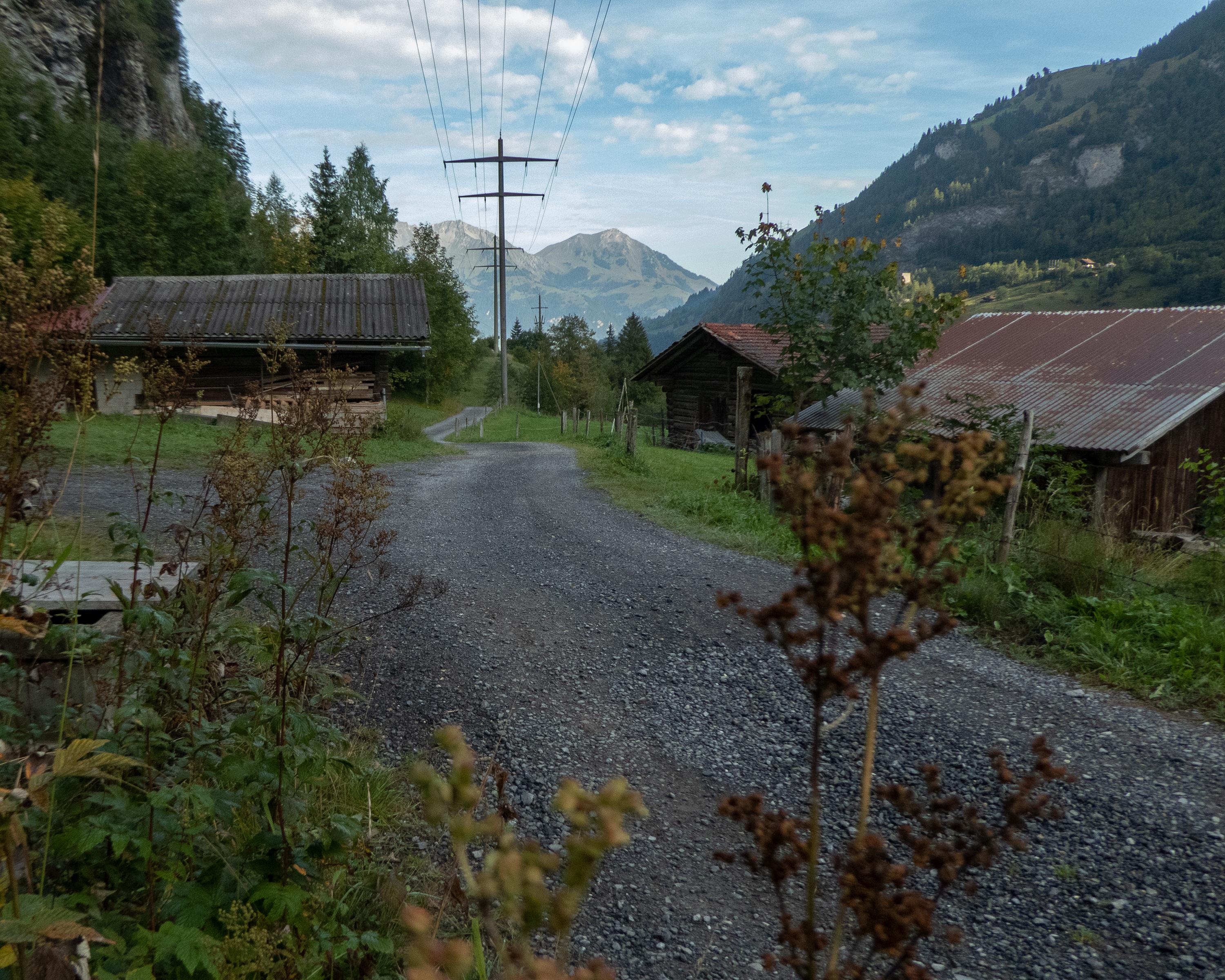
Kandersteg is surrounded by glaciers and unspoilt rocky ledges, with beautiful old farmhouses scattered along the slopes and in the Kandertal valley. The route follows the wild Kander River, before the imposing Niesen mountain looms large in the distance and the valley widens out. Your destination here is Thun with its majestic white-walled castle.

Height profile

Weather:

Comments about this activity or place?

Thank you for your feedback!