search.ch

Nationalpark-Panoramaweg

Regional route No. 45, S-charl–Val Müstair, Süsom Givè
  • Image 1

Description

Regional route
No. 45 (S-charl–Val Müstair, Süsom Givè)
Length
18 km
Ascent • Descent
↑ 860 m • ↓ 520 m
Lowest point • Highest point
1808 m • 2260 m
Hiking time
5 h 20 min
Grade
medium (mountain hiking trail)
Fitness level
difficult
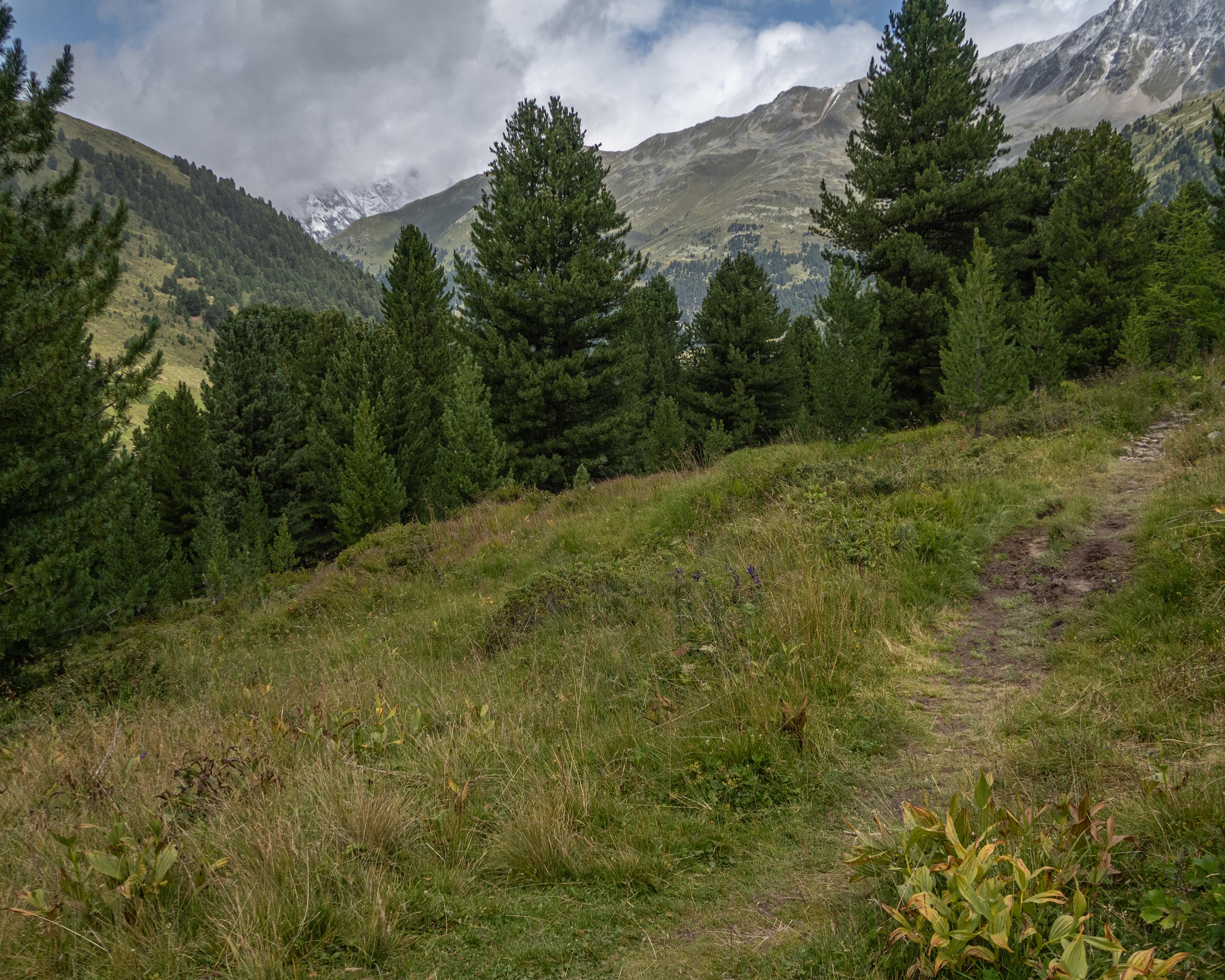
The trail follows the Clemgia river through rugged Val S-charl and all the way to the protected God da Tamangur stone pine forest. It passes small, charming mountain lakes, attractive rock formations, rare Alpine flora, and mountain chalets built of rubble stone. The views far across Val Müstair are amazing.

Height profile

Weather:

Comments about this activity or place?

Thank you for your feedback!