DE
FR
IT
EN
Directory
Weather
Map / Route
Timetable
Leisure
TV guide
Cinema
Web search
Apps
More
Personal Data »
Login:
Register
Password forgotten
or
Log in with local.ch
Log in with Apple
Log in with Facebook
Log in with Google
Log in with LinkedIn
Please note that our new
privacy statement
as well as the revised
terms and conditions of use
apply.
Leisure
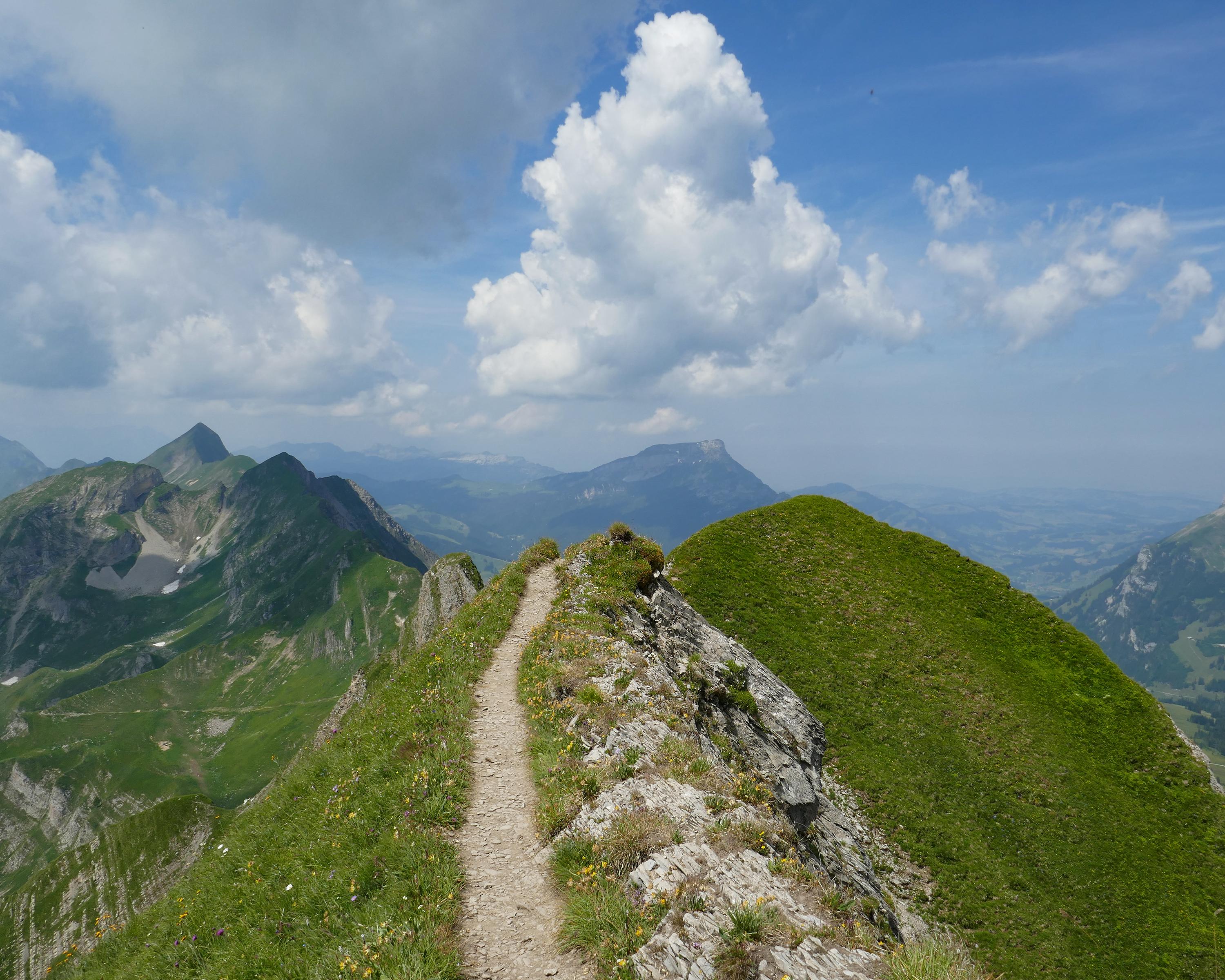
Hike in Entlebuch - Sörenberg
Grenzpfad Napfbergland
Regional route No. 65, Marbach–Brienzer Rothorn
Description
Regional route
No. 65 (Marbach–Brienzer Rothorn)
Length
25 km
Ascent • Descent
↑ 2200 m • ↓ 860 m
Lowest point • Highest point
865 m • 2268 m
Hiking time
9 h 25 min
Grade
medium (mountain hiking trail)
Fitness level
difficult
Marbachegg and the Brienzer Rothorn are climbed from the north. Surprising panoramic views of the Alps open up to the south. Delicious meringues sweeten the ridge walk, which also runs through the UNESCO Entlebuch Biosphere.
Comments on this information?
We welcome your feedback!
Presented by
Route
Height profile
Weather:
More...
Comments about this activity or place?
Incorrect information
Missing information
Another topic
Thank you for your feedback!
Close