DE
FR
IT
EN
Directory
Weather
Map / Route
Timetable
Leisure
TV guide
Cinema
Web search
Apps
More
Personal Data »
Login:
Register
Password forgotten
or
Log in with local.ch
Log in with Apple
Log in with Facebook
Log in with Google
Log in with LinkedIn
Please note that our new
privacy statement
as well as the revised
terms and conditions of use
apply.
Leisure
Mountain bike in Engadin Scuol Zernez
Nationalpark Bike-Marathon
Local route No. 444, Scuol–Tschierv
Description
Local route
No. 444 (Scuol–Tschierv)
Length
31 km
Ascent • Descent
↑ 1200 m • ↓ 820 m
Lowest point • Highest point
1171 m • 2250 m
Grade
medium
Fitness level
medium
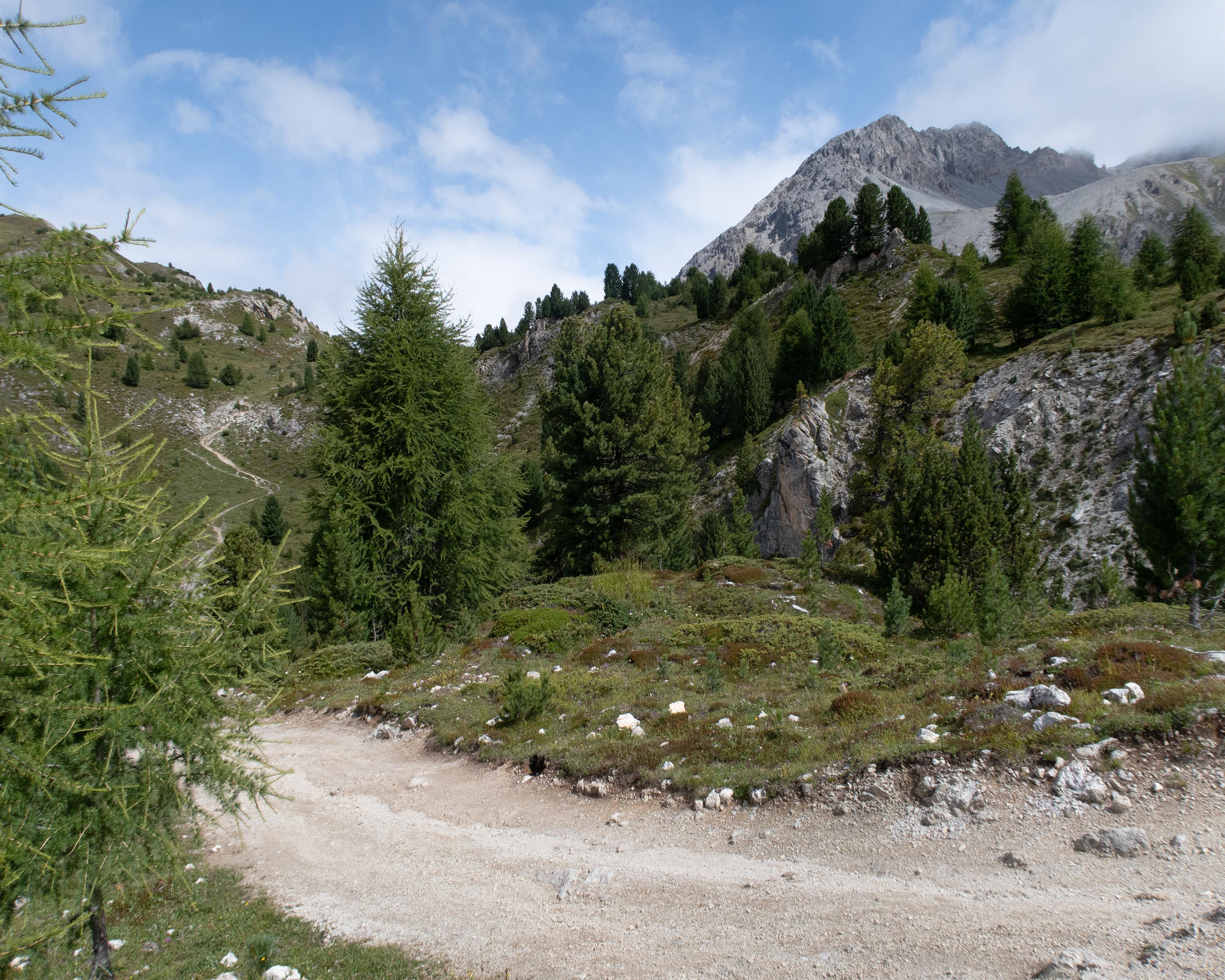
The first part of the tour through the Val S-charl and over the da Costainas Pass is characterised by unique countryside along a mountain stream and through open mountain pine forests. The hamlets of S-charl and Lü are well worth a break.
Booking Information
E-mail:
info@engadin.com
Comments on this information?
We welcome your feedback!
Presented by
Route
Height profile
Weather:
More...
Tourismus Engadin Scuol Samnaun Val Müstair
Stradun, 7550 Scuol
Tourismus Engadin Scuol Samnaun Val Müstair
Stradun, 7550 Scuol
081 861 88 00
Comments about this activity or place?
Incorrect information
Missing information
Another topic
Thank you for your feedback!
Close