DE
FR
IT
EN
Directory
Weather
Map / Route
Timetable
Leisure
TV guide
Cinema
Web search
Apps
More
Personal Data »
Login:
Register
Password forgotten
or
Log in with local.ch
Log in with Apple
Log in with Facebook
Log in with Google
Log in with LinkedIn
Please note that our new
privacy statement
as well as the revised
terms and conditions of use
apply.
Leisure
Hike in Gruyère Pays-d'Enhaut Regional Nature Park
L’Intyamon de Montbovon à la Brâ
Local route No. 273, Montbovon–Montbovon
Description
Local route
No. 273 (Montbovon–Montbovon)
Length
10 km
Ascent • Descent
↑ 780 m • ↓ 780 m
Lowest point • Highest point
774 m • 1462 m
Hiking time
4 h
Grade
medium (mountain hiking trail)
Fitness level
medium
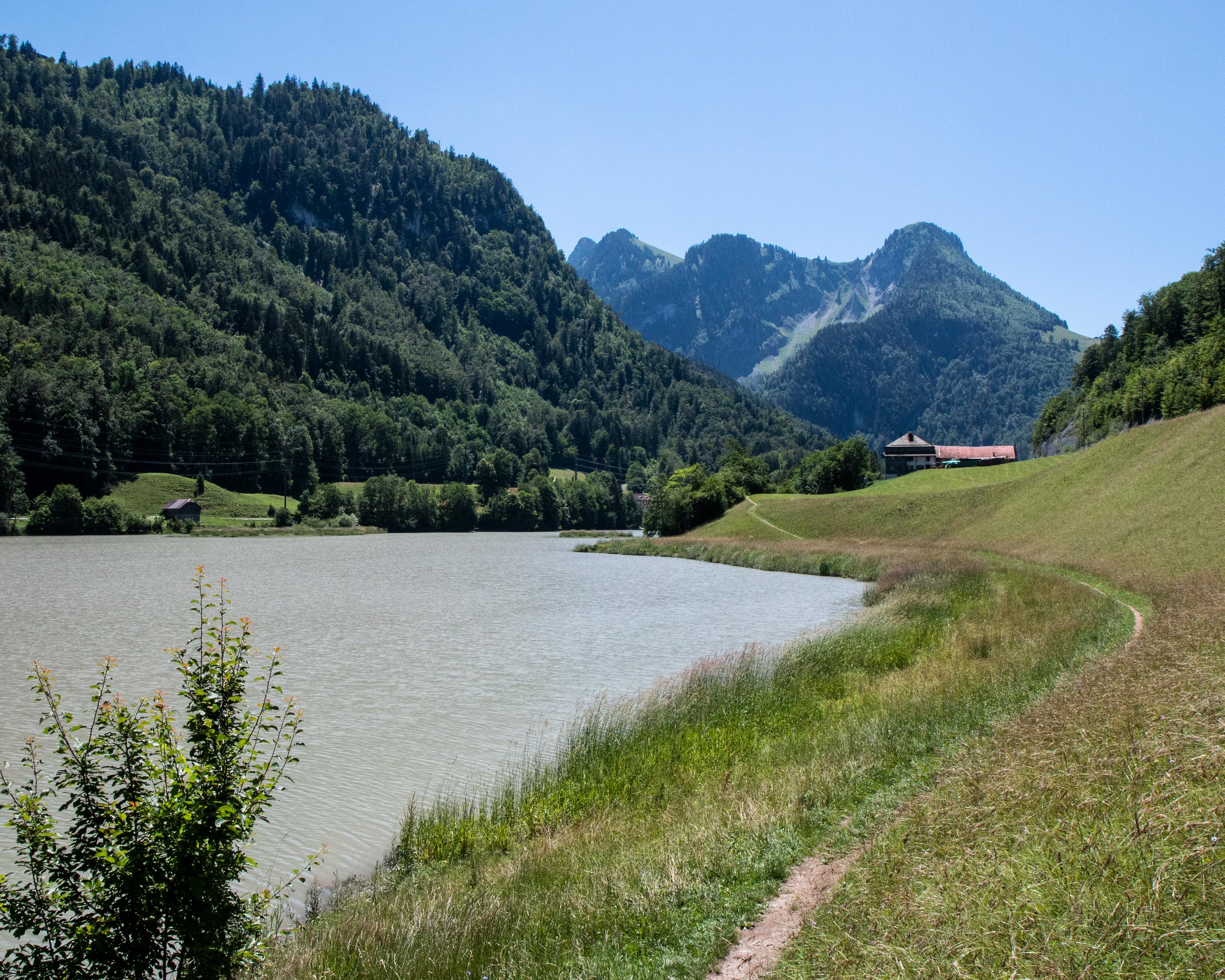
This hike through the border area of the Canton Fribourg is all about nature and history. It leads along the Saane River to a historic 17th century bridge and from Alp La Brâ the view opens up over the Intyamon Valley.
Booking Information
E-mail:
info@la-gruyere.ch
Comments on this information?
We welcome your feedback!
Presented by
Route
Height profile
Weather:
More...
La Gruyère Tourisme
Place des Alpes 26, Case postale 593, 1630 Bulle
La Gruyère Tourisme
Place des Alpes 26, Case postale 593, 1630 Bulle
0848 424 424
Comments about this activity or place?
Incorrect information
Missing information
Another topic
Thank you for your feedback!
Close