search.ch

Walenpfad

Local route No. 573, Engelberg (Ristis)–Oberrickenbach (Bannalp)
  • Image 1

Description

Local route
No. 573 (Engelberg (Ristis)–Oberrickenbach (Bannalp))
Length
11 km
Ascent • Descent
↑ 780 m • ↓ 660 m
Lowest point • Highest point
1598 m • 1953 m
Hiking time
4 h
Grade
medium (mountain hiking trail)
Fitness level
medium
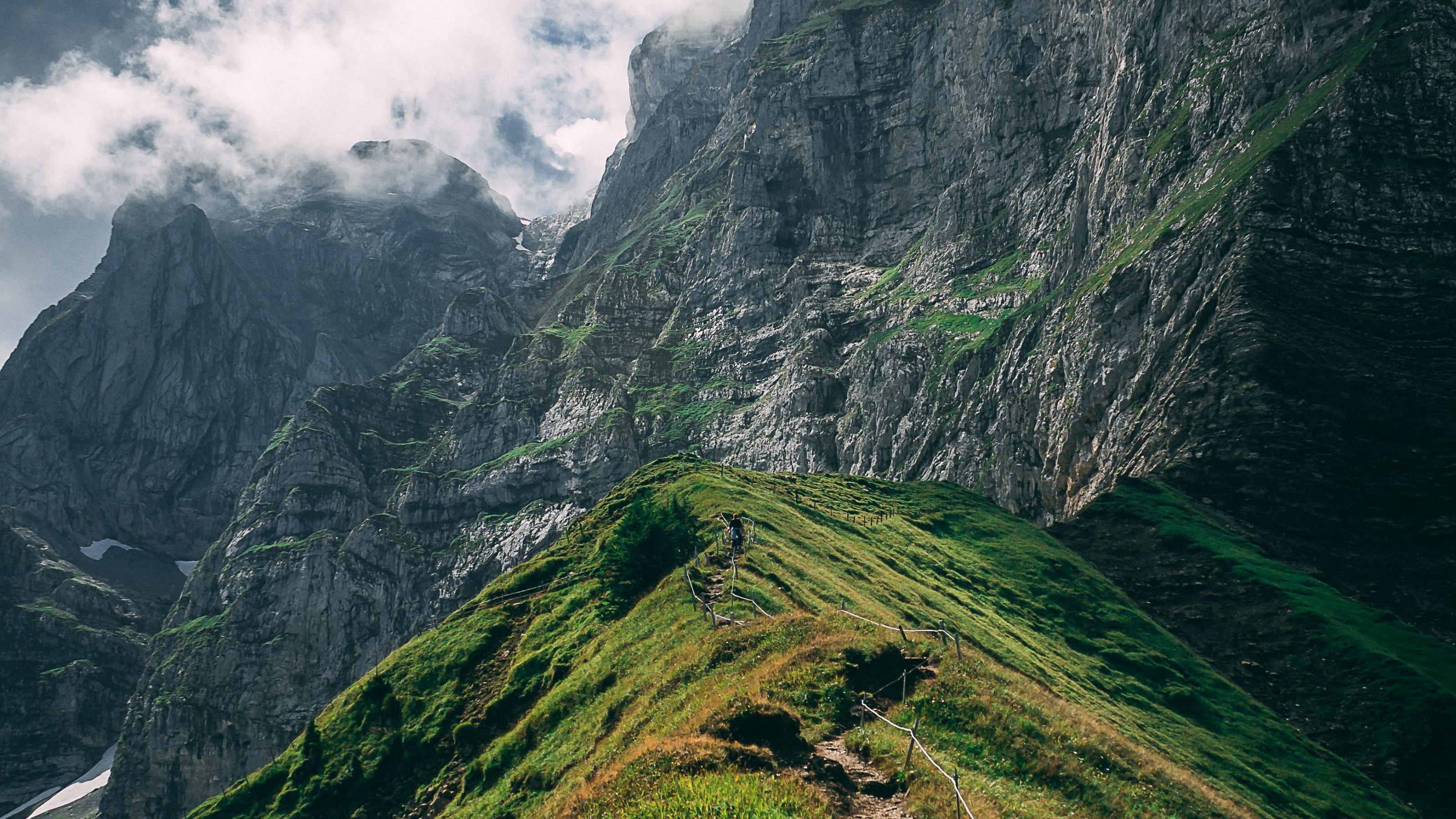
A magnificent high-altitude hike linking the Brunni and Bannalp regions. Your backdrop: the mountain world of the Walenstöcke massif, with sweeping vistas of the Mittelland. The path begins in meadowland and then gradually becomes more Alpine as you pass idyllic Lake Bannalp.

Booking Information

Height profile

Weather:

Engelberg-Titlis Tourismus AG

Comments about this activity or place?

Thank you for your feedback!