search.ch

Alpine Passes Trail

National route No. 6, Taney–St-Gingolph
  • Image 1

Description

National route
No. 6 (Taney–St-Gingolph)
Length
16 km
Ascent • Descent
↑ 760 m • ↓ 1800 m
Lowest point • Highest point
374 m • 1850 m
Hiking time
5 h 45 min
Grade
medium (mountain hiking trail)
Fitness level
difficult
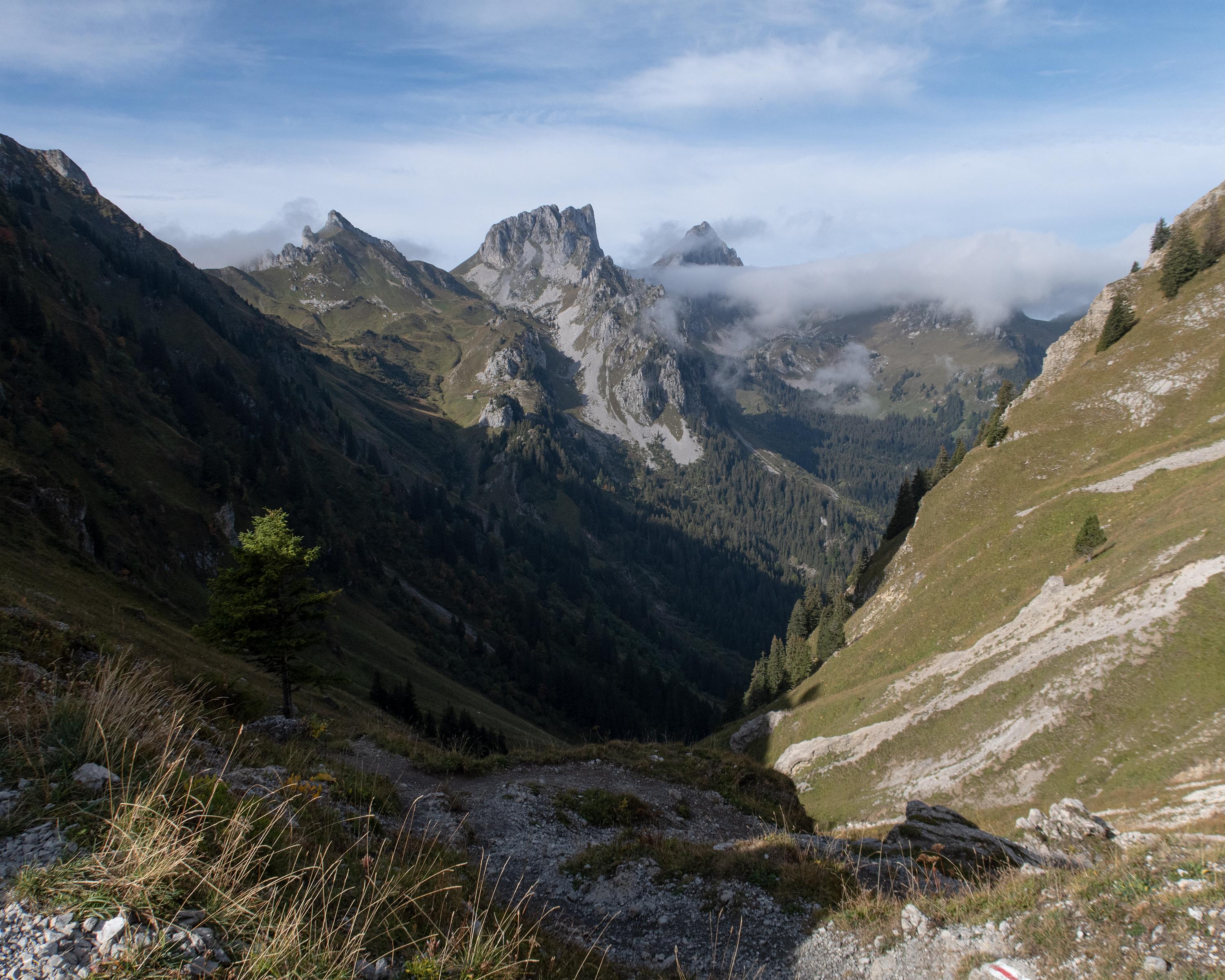
A picture-book landscape at the start: the lake, mountain flowers, a lovely path. At the top of the Lovenex pass, the view opens up to the lake of Lovenex and lake Geneva beyond. This is the destination of the last stage: through an enchanting forest, the alpine passes trail ends in St. Gingolph on the border with France.

Height profile

Weather:

Comments about this activity or place?

Thank you for your feedback!