search.ch

Prättigauer Höhenweg

Regional route No. 72, Landquart–Klosters
  • Image 1

Description

Regional route
No. 72 (Landquart–Klosters)
Length
77 km
Ascent • Descent
↑ 4600 m • ↓ 3900 m
Lowest point • Highest point
516 m • 2261 m
Grade
medium (mountain hiking trail)
Fitness level
difficult
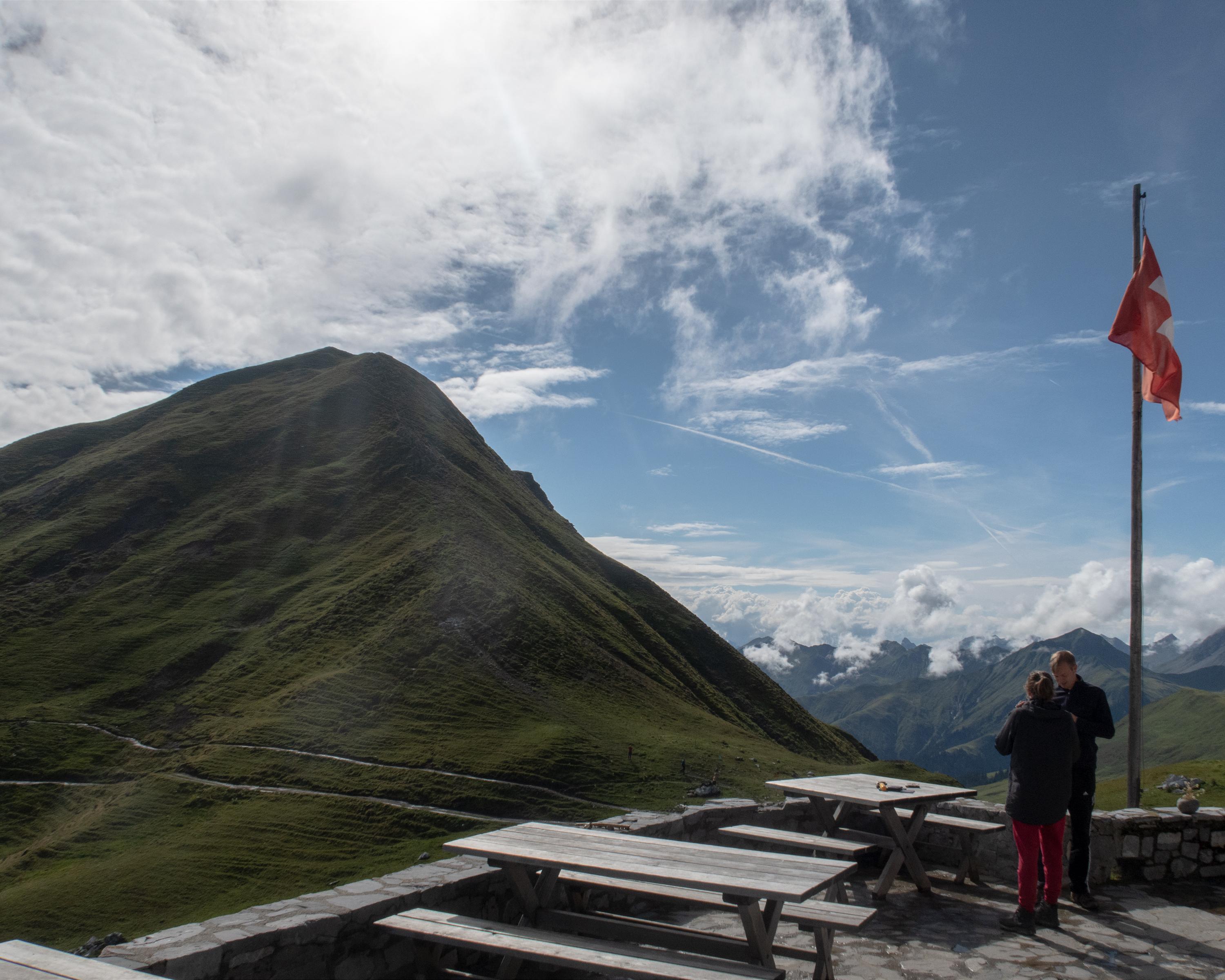
The Prättigauer Höhenweg (high-level trail) is certainly worthy of the name: a hike along contours, on one side the sight of the Rätikon sandstone, on the other side changing views, wide and deep down. As a finale, pure summit pleasure on the Jägglischhorn.

Height profile

Weather:

Comments about this activity or place?

Thank you for your feedback!