search.ch

Walserweg

Regional route No. 35, Obermutten–Andeer
  • Image 1

Description

Regional route
No. 35 (Obermutten–Andeer)
Length
15 km
Ascent • Descent
↑ 320 m • ↓ 1200 m
Lowest point • Highest point
950 m • 1900 m
Hiking time
4 h
Grade
medium (mountain hiking trail)
Fitness level
difficult
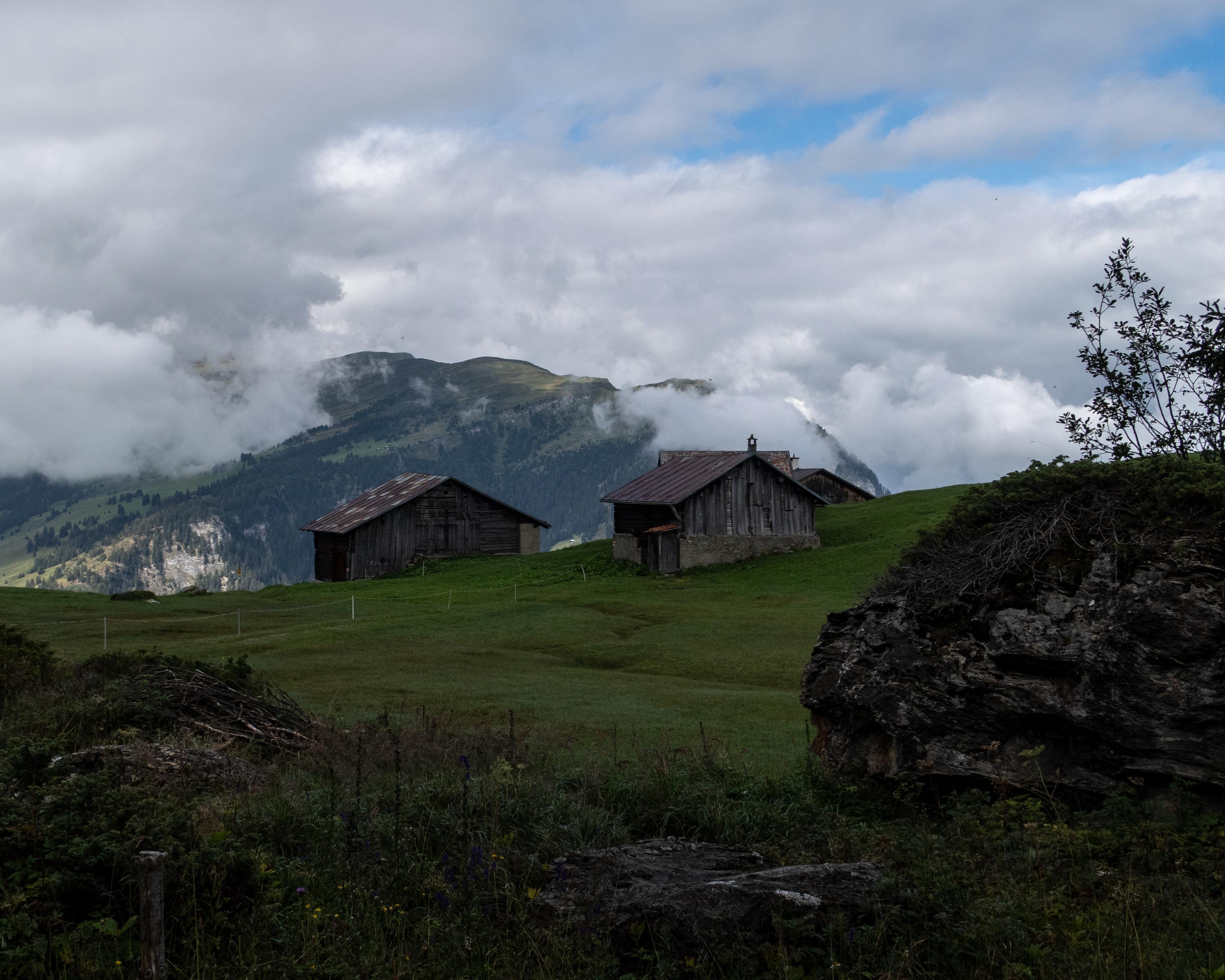
Old transit trail from the Albulatal valley into Schams. Views across to the Walser settlements on Heinzenberg. Through sparse larch forests and across alp pastures into the romantic Val Schons. Sgraffito adorns the stately dwelling houses of Zillis and Andeer, where therapeutic baths reward the weary hiker.

Height profile

Weather:

Comments about this activity or place?

Thank you for your feedback!