search.ch

La Chaux-de-Fonds Bike

Local route No. 750, La Chaux-de-Fonds–La Chaux-de-Fonds
  • Image 1

Description

Local route
No. 750 (La Chaux-de-Fonds–La Chaux-de-Fonds)
Length
28 km
Ascent • Descent
↑ 660 m • ↓ 660 m
Lowest point • Highest point
986 m • 1266 m
Grade
easy
Fitness level
easy
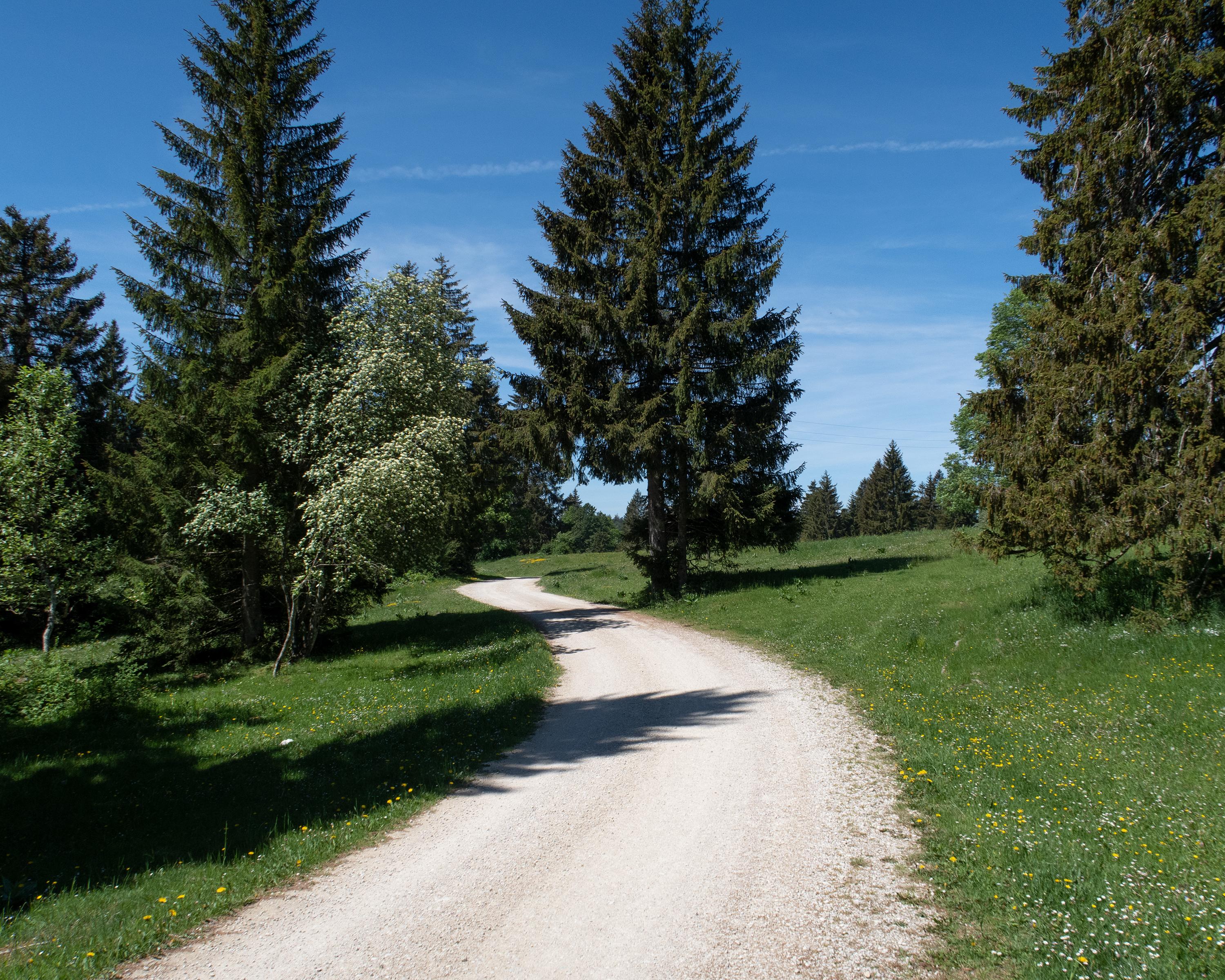
From the heart of the watchmaking industry this tour leads up to the magnificent hills of the Jura and across lovely meadows, down into Vallée de La Sagne and the long ribbon of the town with the same name. The single trail through the forest on the other side of the valley, down from Mont-Dar, is an experience.

Booking Information

Height profile

Weather:

Comments about this activity or place?

Thank you for your feedback!