search.ch

Jakobsweg Graubünden

Regional route No. 43, Lü–S-charl
  • Image 1

Description

Regional route
No. 43 (Lü–S-charl)
Length
15 km
Ascent • Descent
↑ 500 m • ↓ 600 m
Lowest point • Highest point
1808 m • 2250 m
Hiking time
4 h 10 min
Grade
medium (mountain hiking trail)
Fitness level
medium
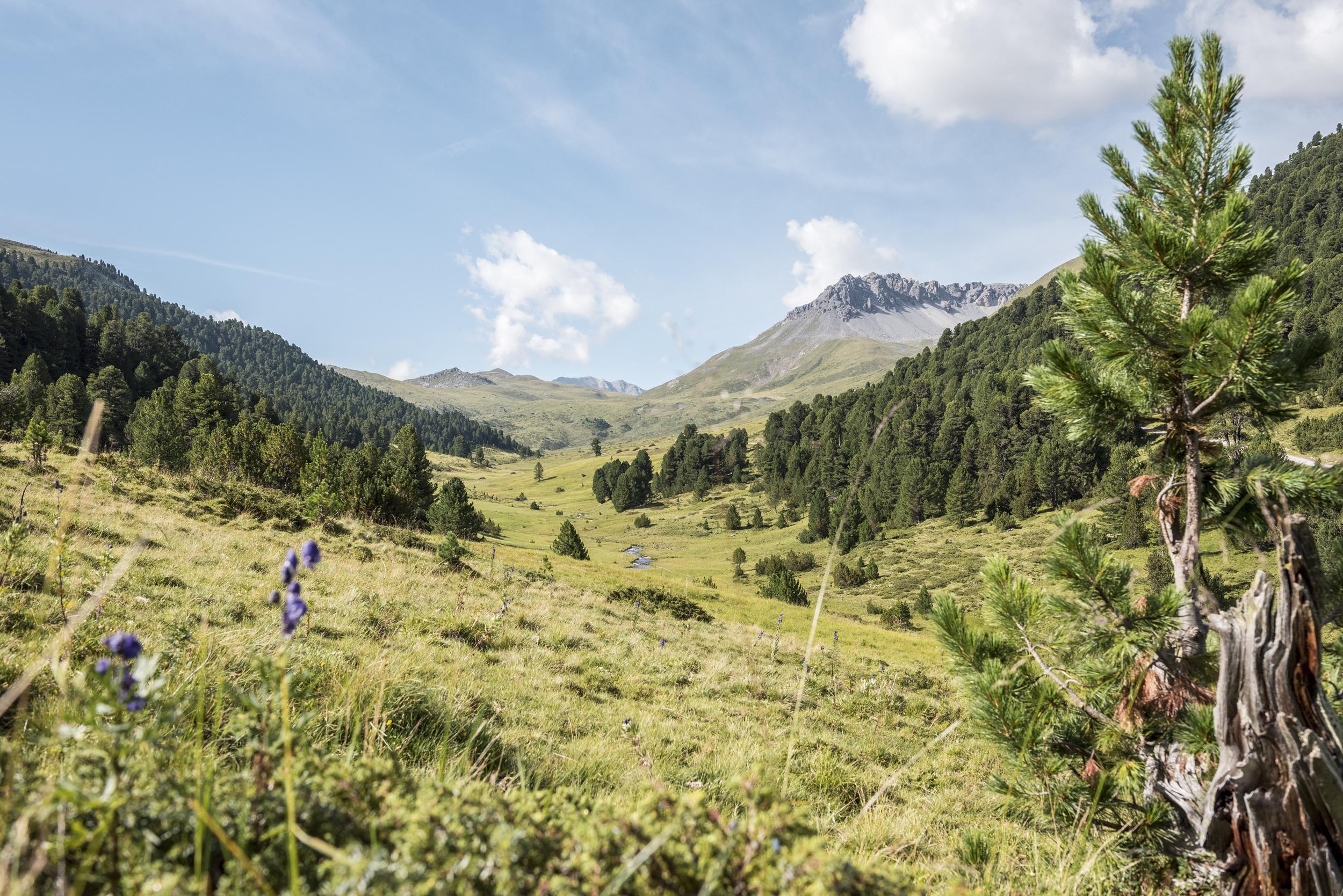
«Tamangur»-fairytale name for Europe’s highest-lying pine forest (Pinus cembra) - is today’s highlight. A steep climb over the old Costainaspass with pleasing descent past the Alp Astras (fresh products available) to the idyllic, small village of S-charl.

Height profile

Weather:

Comments about this activity or place?

Thank you for your feedback!