search.ch

Panorama Rundweg Thunersee

Regional route No. 26, Sigriswil–Interlaken
  • Image 1

Description

Regional route
No. 26 (Sigriswil–Interlaken)
Length
17 km
Ascent • Descent
↑ 460 m • ↓ 700 m
Lowest point • Highest point
558 m • 798 m
Hiking time
4 h 45 min
Grade
easy (hiking trail)
Fitness level
medium
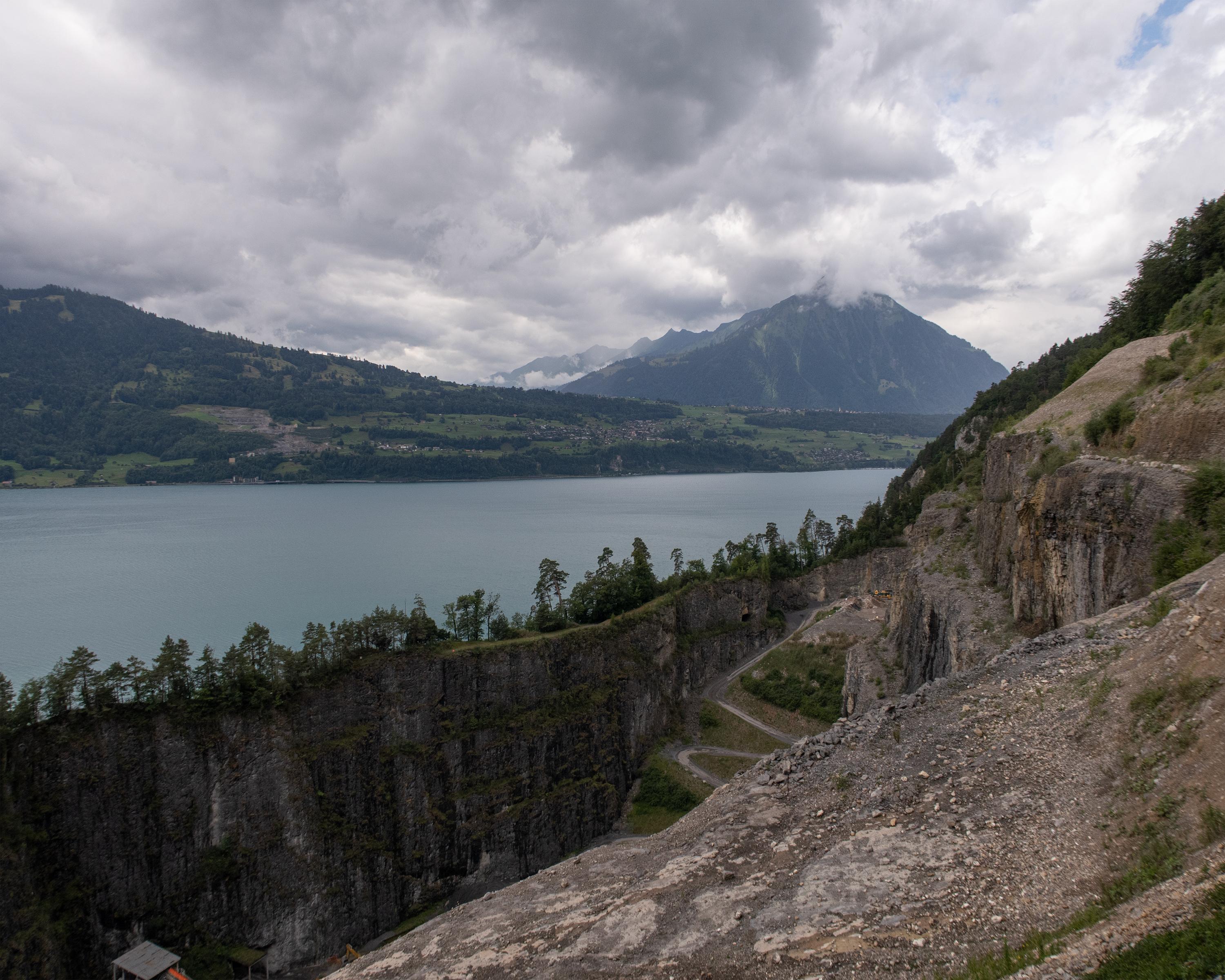
From Sigriswil, the trail leads to Merligen on Lake Thun, where you meet the Way of St. James. At the foot of the Niederhorn mountain, the route passes the St. Beatus caves with their stunning waterfall. As well as the lakeside path through the nature reserve, the towns of Unterseen and Interlaken also tempt you to make a quick detour.

Height profile

Weather:

Comments about this activity or place?

Thank you for your feedback!